


Naturel
Facile
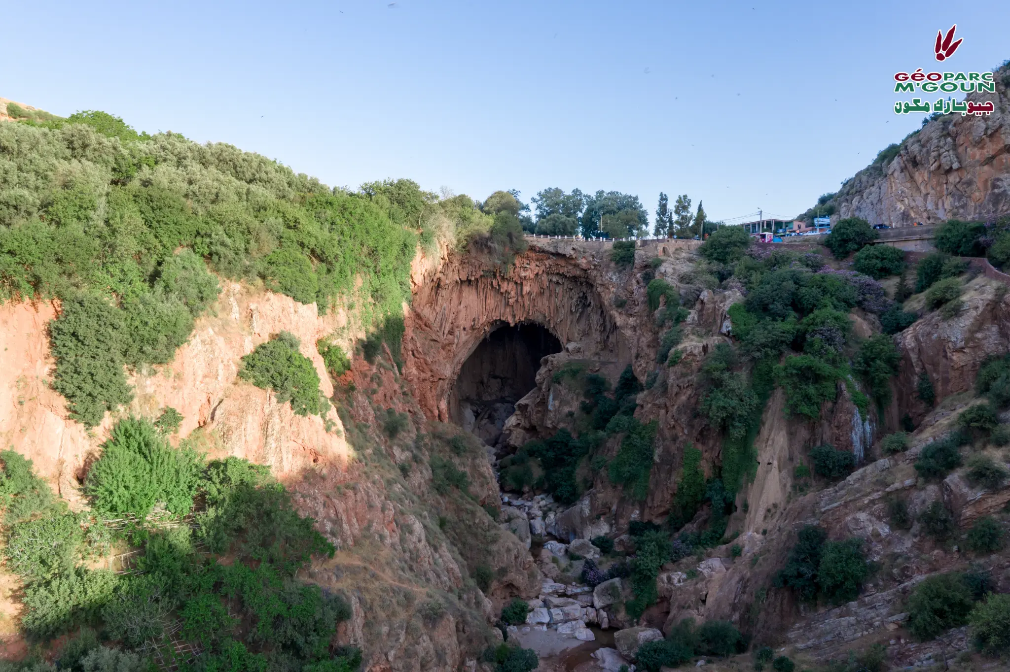
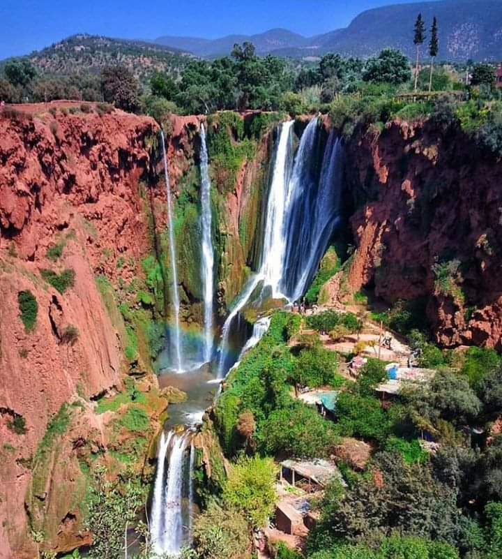
Plus hautes cascades du Maroc — 110 m — Calcaires jurassiques
Cascades d'Ouzoud
The Ouzoud Waterfalls are the highest waterfalls in Morocco with a 110-meter drop, carved into Jurassic limestone. An iconic natural site of M'Goun Geopark, they are the habitat of Barbary macaques (Macaca sylvanus) and host remarkable biodiversity. The turquoise water falling in three successive tiers in a setting of limestone cliffs and Mediterranean vegetation makes it one of Morocco's most visited sites.
3-4 heures
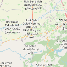
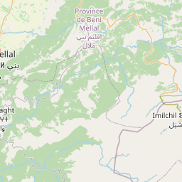
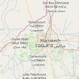
25 km d'Azilal
700 – 900 m
- ✓Plus hautes cascades du Maroc — 110 m de chute
- ✓Calcaires jurassiques — géologie spectaculaire
- ✓Habitat des singes magots (Macaca sylvanus)
- ✓Biodiversité remarquable — flore méditerranéenne
- ✓Site touristique emblématique du Géoparc
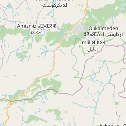
Access
Route P3204 — 25 km from Azilal — 150 km from Marrakech