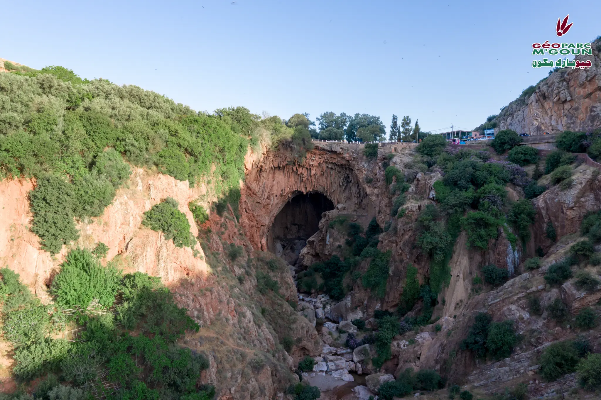
Imi n'Ifri (Natural Bridge and Gorges)
Natural Limestone Bridge, Gorges and Art Town — SIBE
Overview
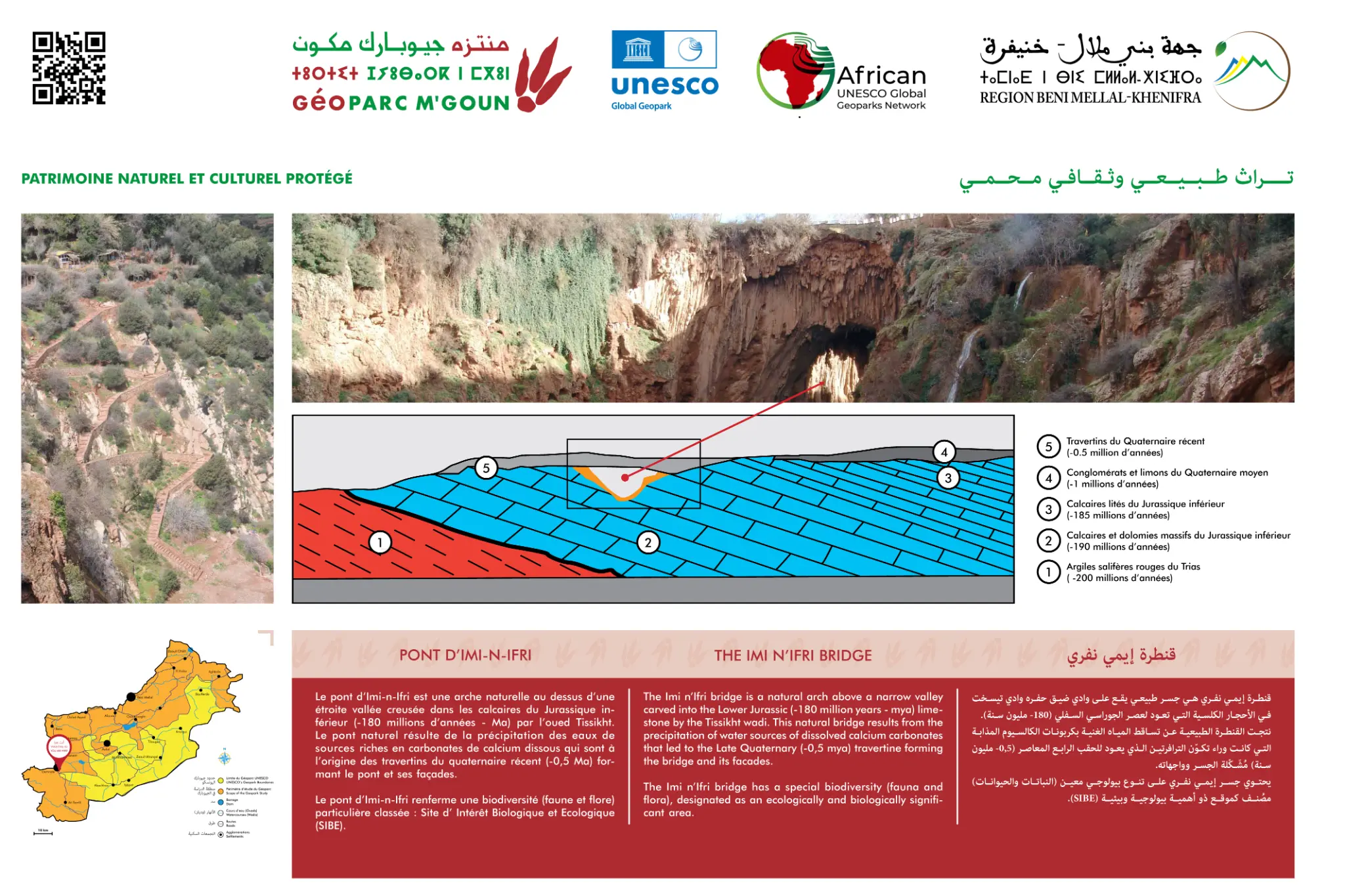
The official Demnate — Imi n'Ifri geosite (GS-20) combines the art and craft town of Demnate with the natural limestone arch of Imi n'Ifri, carved by the Tissilt river in Lower Jurassic limestone.
Imi n'Ifri ('the mouth of the cave' in Tamazight) is a spectacular natural limestone bridge formed by the erosion of the Tissilt river in Lower Jurassic limestone. The arch, 25 metres high and 15 metres wide, overlooks deep gorges inhabited by bat colonies. The site is classified as a SIBE (Site of Biological and Ecological Interest) for its exceptional biodiversity. The neighbouring town of Demnate is renowned for its crafts — pottery, carpets and Amazigh jewellery.
Official Interpretive Panel
Official interpretive panel(s) of M'Goun Geopark — UNESCO
Points of Interest
Natural limestone bridge — Lower Jurassic
Deep gorges and bat colonies
SIBE site — Exceptional biodiversity
Demnate town — Amazigh crafts
Tissilt river — Karstic erosion
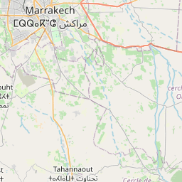
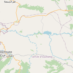
Access & Location
How to get there
Accessible from Azilal or Marrakech. Contact M'Goun Geopark for access conditions.
GPS Coordinates
31.7242° N, 6.9714° W
Altitude: 900 – 1 100 m