What is a UNESCO Global Geopark?
A UNESCO Global Geopark is a unified territory that protects and promotes sites and landscapes of international geological significance, while ensuring the sustainable development of local communities.
The concept was officially adopted by UNESCO in 2015. Geoparks must meet strict criteria of geological quality, management, education and geotourism, and are re-evaluated every 4 years.
Today, the global network counts 241 UNESCO Global Geoparks in 51 countries, including the M'Goun Geopark, the first geopark in Africa and the Arab world labelled in 2014.
"UNESCO Global Geoparks are spaces where geology, nature and local cultures meet to create a sustainable future."
The M'Goun Geopark in Detail
Geology & Territory
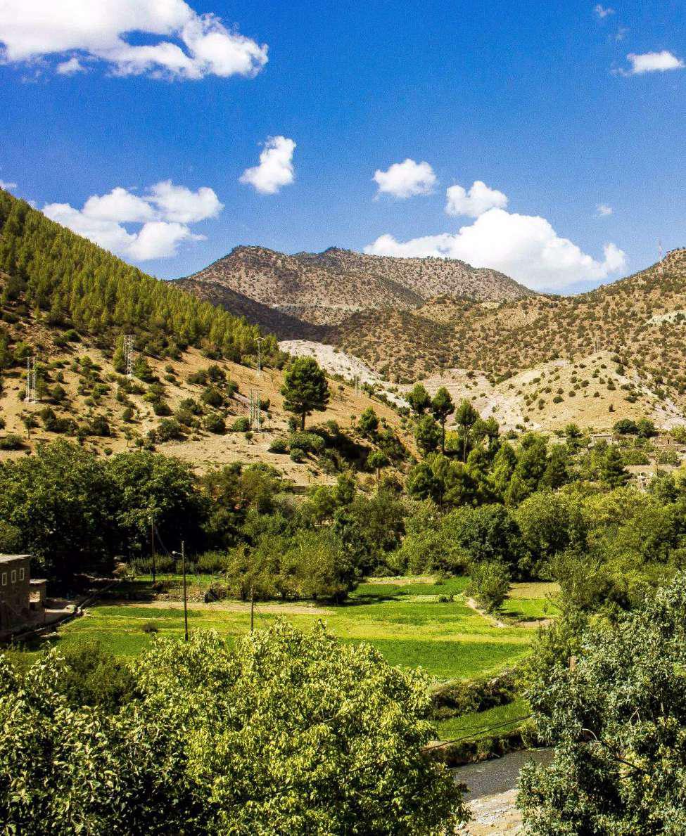
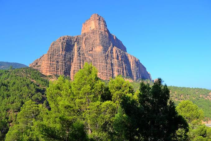
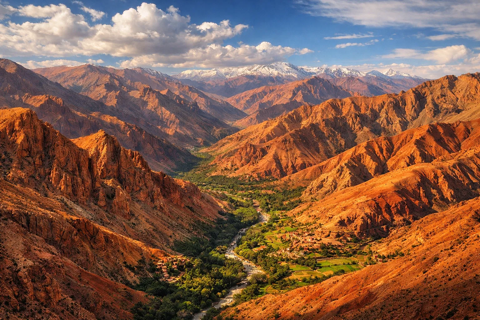
The M'Goun Geopark covers a mid-to-high mountain region, with altitudes ranging from 1,000 to 4,000 m. Its 5,730 km² territory features highly accentuated relief, spectacular morphology and striking color contrasts.
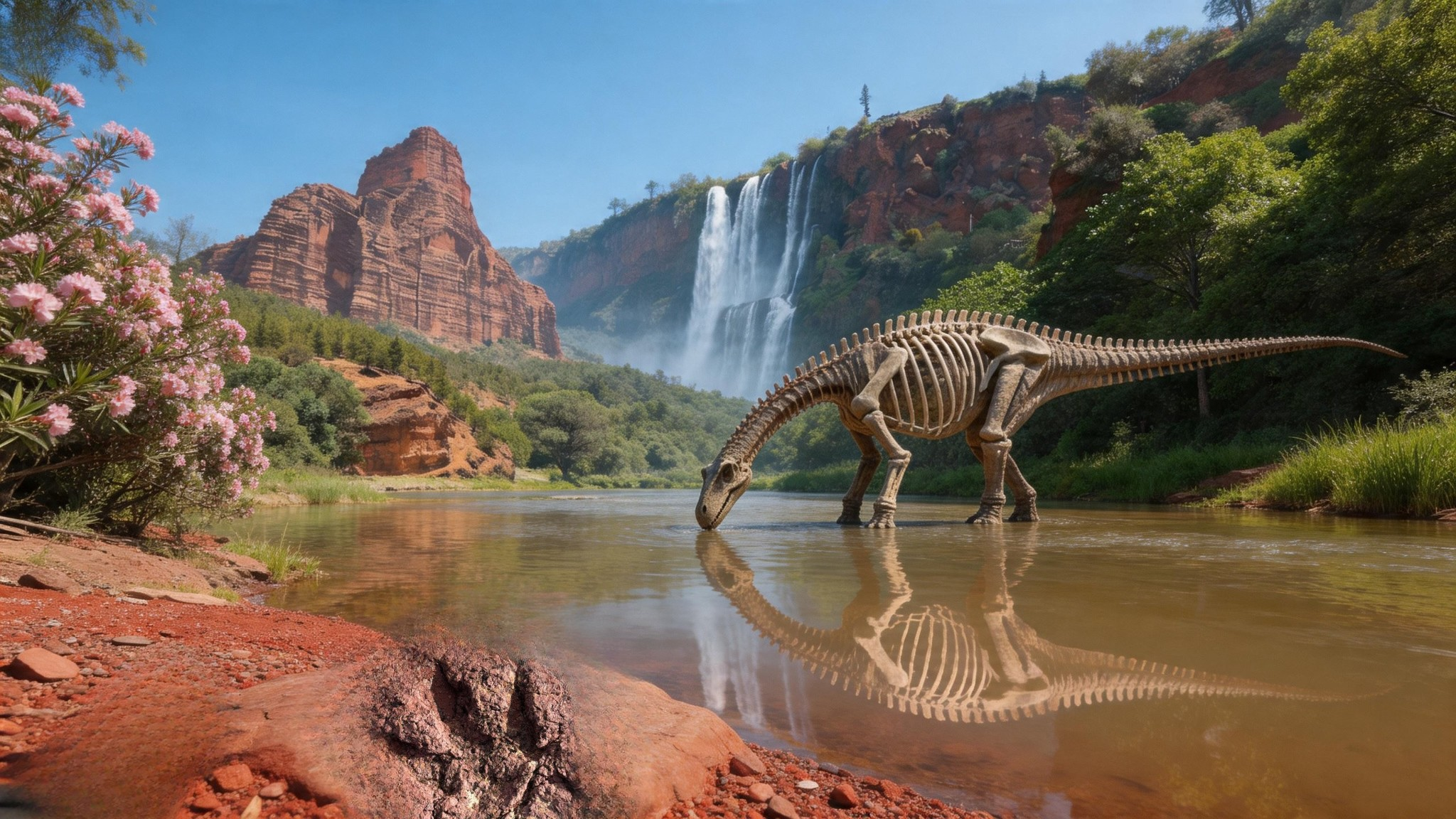
The geological history of the territory is part of the evolution of the Central High Atlas, dating back to the Triassic period, 250 million years ago. The sedimentary filling of the Atlas troughs took place during the Jurassic-Cretaceous, and the uplift of the Atlas chain is linked to the paroxysmal phases of the Miocene, due to the Africa-Europe plate convergence (Alpine orogeny).
The geological formations belong essentially to the Triassic, Jurassic and Cretaceous systems. The geopark hosts more than 100 inventoried geosites, of which 22 are officially labelled and geoconserved, spread across 15 territorial municipalities.
Population & Cultural Heritage
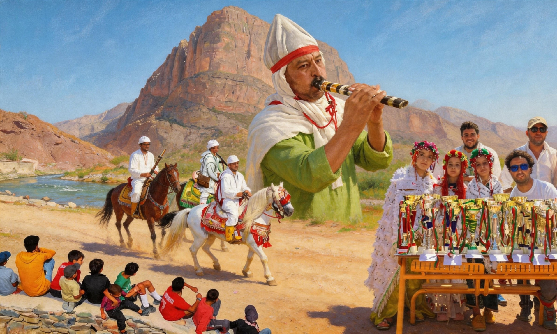
The Geopark's population is 237,626 inhabitants, predominantly rural and Amazigh-speaking. The populations of the High Atlas of Azilal are linked to a peasant and pastoral mountain way of life, carrying ancestral Amazigh traditions expressed through songs and dances during numerous ceremonies.
The Geopark hosts a distinctive cultural heritage comprising material and immaterial elements: ancient kasbahs and granaries (Sidi Moussa, Ibaqualliwn, Amezrai, Aoujgal), zaouias, marabouts, ighermanes (stone and earthen houses), saguias, agdals, crafts (weaving, pottery).
This rich intangible heritage — moussems, souks, songs and tales, dances and popular arts — is promoted through the Guide to Traditional Arts and Songs developed by the M'Goun Geopark in it's partners.
An Exceptional Natural Territory
Water Resources
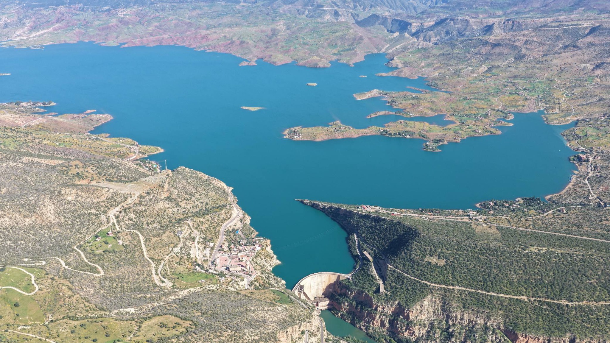
The Geopark is crossed by numerous rivers (El Abid, Melloul, Ahansal, Lakhdar, Tassaout) draining toward the Tadla plains. 5 dams form permanent lakes: Bin El Ouidane, Aït Ouarda, Hassan 1st, Moulay Youssef and Timioutine.
Forest Ecosystems
The territory hosts remarkable forest ecosystems: thuriferous juniper of Elhouante (Tagleft), pine forest of Ahansal (Zaouiat Ahansal), thuya groves of Entifa, and the SIBE of Tamga. These forests play a crucial role in combating climate change.
Local Products
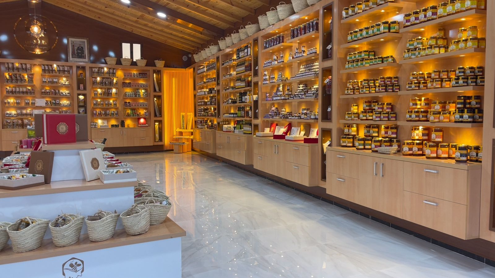
3 Protected Geographical Indications (PGI): Tadla-Azilal Euphorbe Honey, Azilal Walnuts and Aït Attab Olive Oil. Other labelled products: Iouaridène grapes, mountain apple, almonds, aromatic plants (thyme, lavender), honey, Aït Bou Oulli cheeses and saffron.
Management Mode
The M'Goun Geopark, recognized as a UNESCO Global Geopark (UGGp), adopts a participatory and decentralized governance model, in line with the international standards of the UNESCO Global Geoparks Network. This management model is based on a pyramidal structure combining strategic supervision, operational execution and multi-sectoral involvement of local stakeholders, ensuring integrated management of the geological, cultural and natural heritage of the Central High Atlas territory in Morocco.
Strategic Supervision
The M'Goun Geopark Orientation and Monitoring Council (COSGM) is the supreme decision-making body, responsible for strategic guidance, performance monitoring and validation of action plans. It ensures alignment with UNESCO objectives: conservation of geoheritage (canyons, karst caves, Devonian fossils), sustainable development and education.
Executive Structure
Main daily management entity, it ensures:
- ›Inventory and promotion of geological and cultural heritage
- ›Scientific and educational outreach (awareness, training)
- ›Socio-economic development in the territory
- ›Partnership coordination with academic and technical institutions
Key Management Principles
- ›Integrated & Sustainable : Aligned with the 4 UNESCO GGN pillars: conservation, education, geotourism, development.
- ›Participatory : Involvement of 15 communes and 237,626 inhabitants for shared benefits and social economy.
- ›Collaborative : International partnerships (twinning with 18 geoparks) and support for national geopark projects.
- ›Transparent : Annual reports to COSGM and UNESCO.
This model, established since the UNESCO designation in 2014 (revalidated in 2022), positions M'Goun as a successful example of geopark management in Africa and the Arab world.
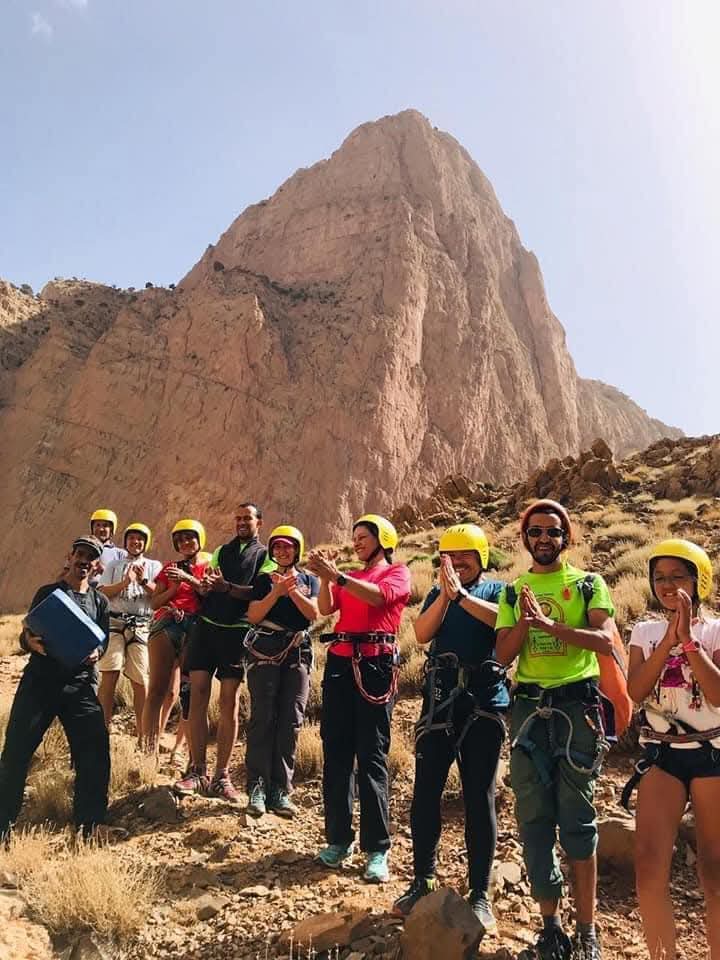
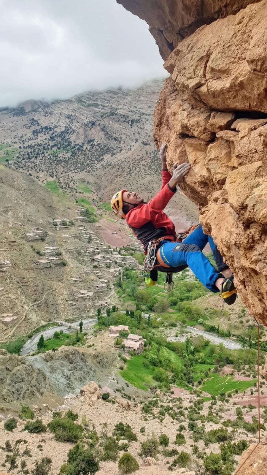
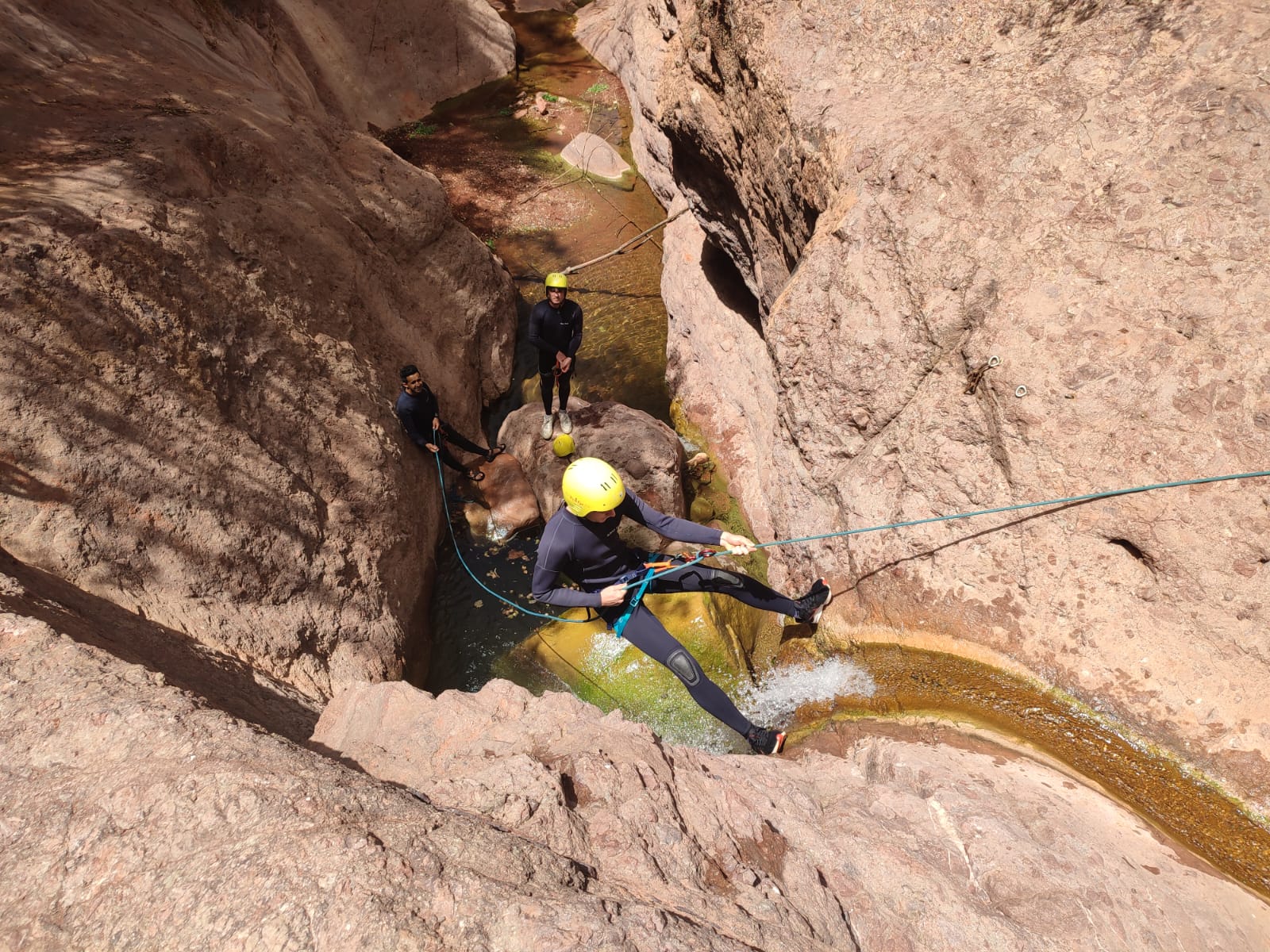
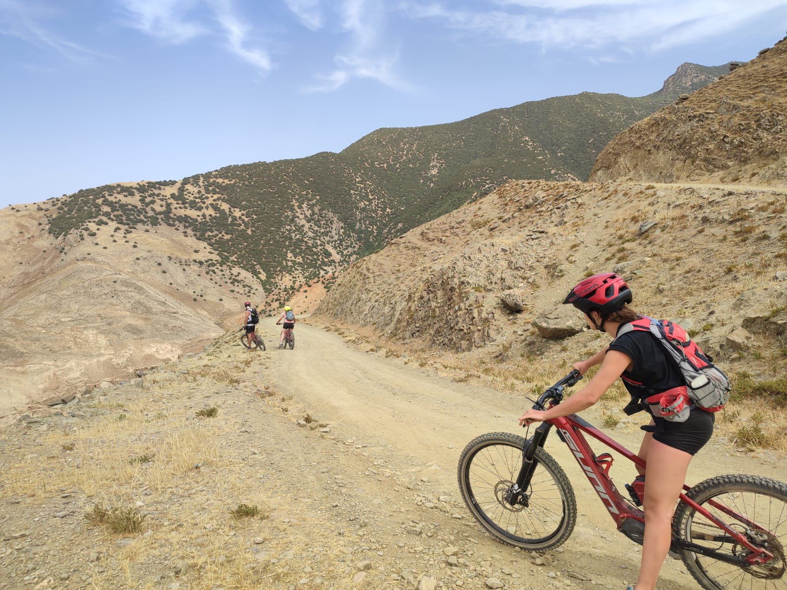
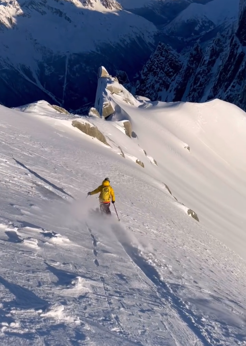
A Territory of Outdoor Activities
The M'Goun Geopark offers a range of sports and outdoor activities for all levels, in spectacular geological landscapes.
How does one become a UNESCO Geopark?
Geological Value
The territory must possess geological sites and landscapes of international importance, including fossils, rock formations or remarkable geomorphological landscapes.
Management Plan
A solid management plan must be in place, with clear objectives for conservation, education and sustainable development over a 4-year period.
Geotourism
The geopark must develop geotourism activities that generate economic benefits for local communities while promoting geological heritage.
Education & Research
Educational and scientific research programs must be active, including partnerships with universities and scientific institutions.
Local Governance
Management must involve local authorities, communities, businesses and scientific institutions in a participatory approach.
Quadrennial Revalidation
Every 4 years, the geopark is evaluated by a team of UNESCO experts. The label can be maintained, put under observation or withdrawn depending on the results.