Bin El Ouidane
Dam Lake — 3.8 Billion m³ in the Heart of the High Atlas
Overview
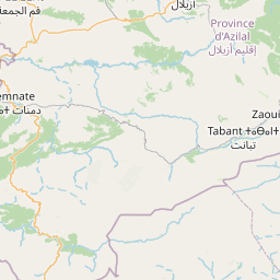
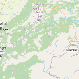
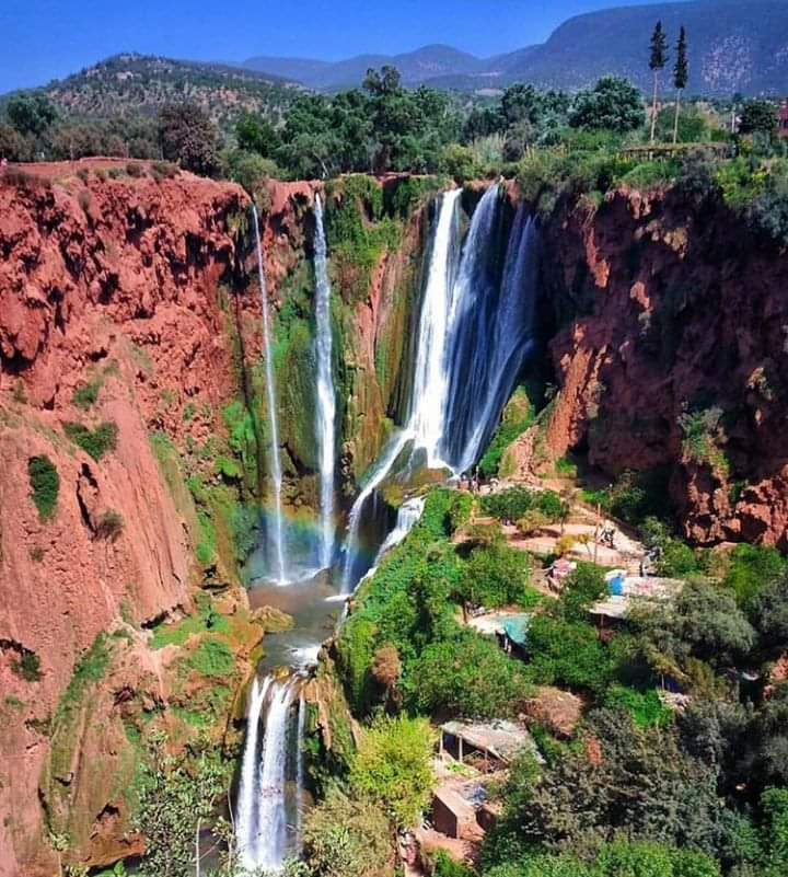
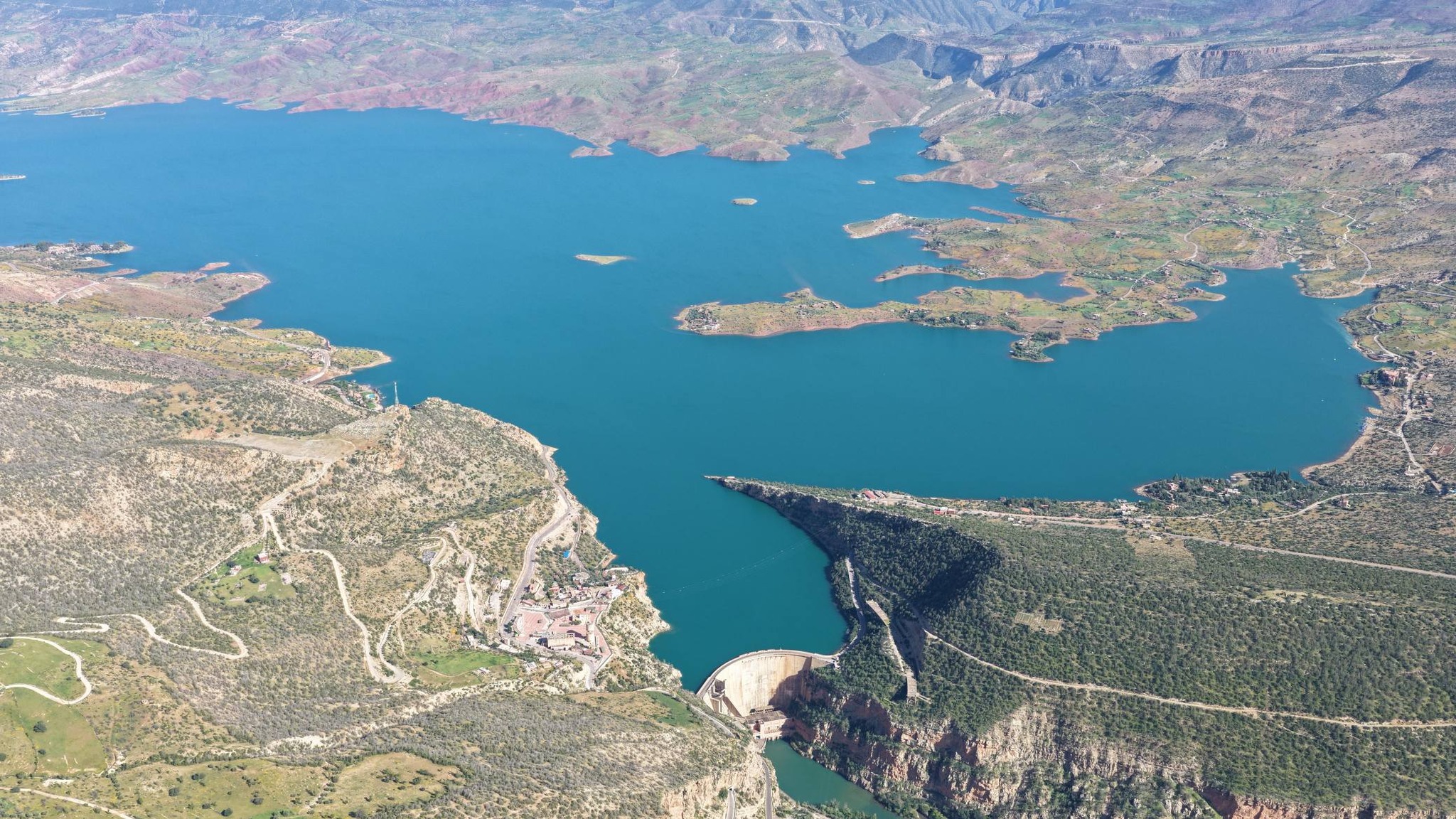
Bin El Ouidane is an exceptional site within M'Goun Geopark, combining a spectacular dam lake, remarkable geological landscapes and rich biodiversity. Located 150 km from Marrakech and 20 km from Azilal, this artificial lake created between 1948 and 1953 covers 38 km² in the heart of the Central High Atlas.
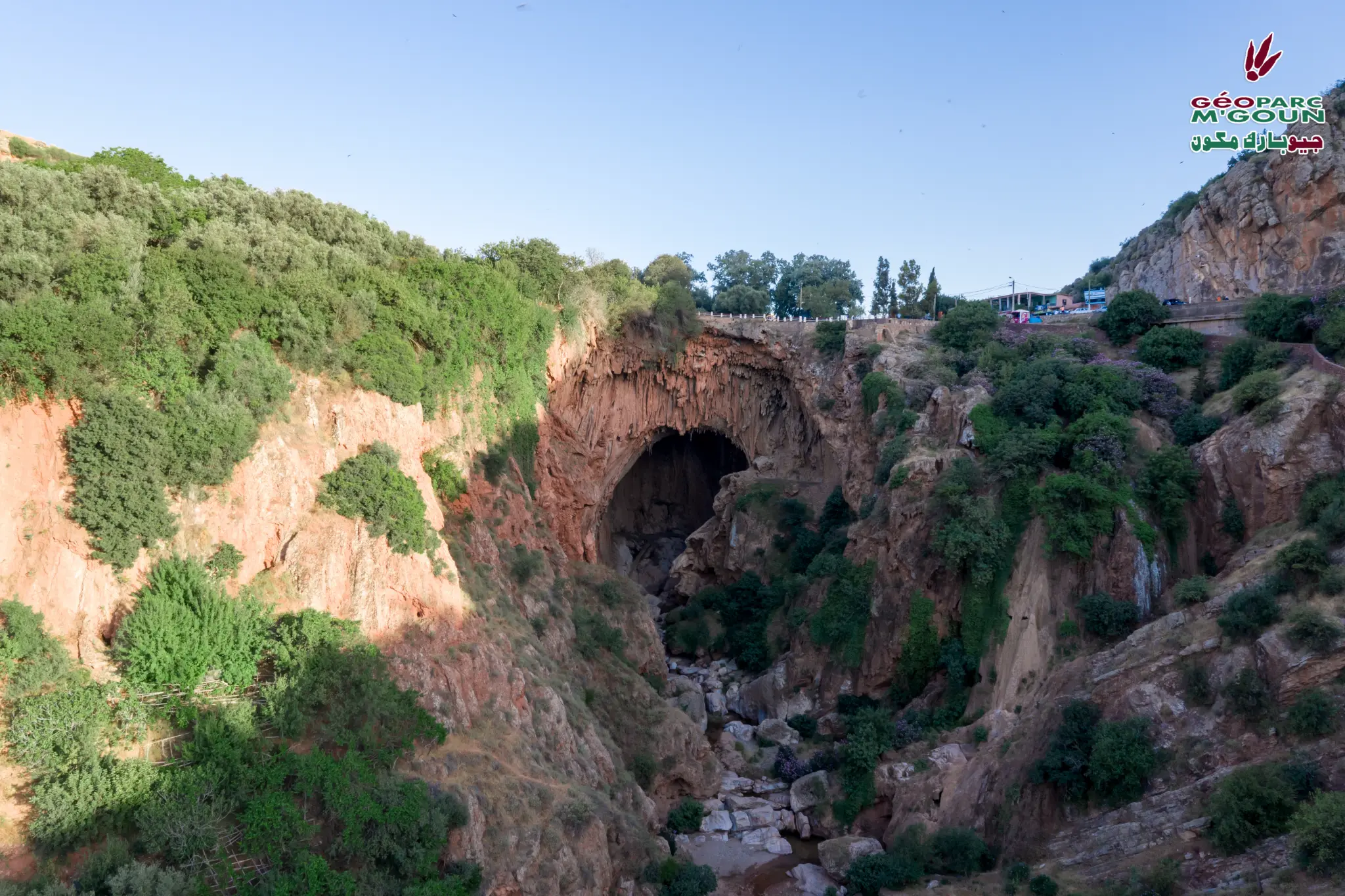
An essential stop on all 4 M'Goun Geopark tourist circuits, Bin El Ouidane offers a unique experience combining spectacular geology, water sports and nature observation. The limestone cliffs framing the lake reveal Jurassic and Cretaceous geological layers, witnesses to the complex geological history of the Central High Atlas.
Sites & Activities
Dam Lake — 3.8 Billion m³
Bin El Ouidane lake is one of Morocco's largest water reservoirs with a capacity of 3.8 billion m³. Created by the dam built between 1948 and 1953, it covers 38 km² and offers exceptional lake scenery in the heart of the High Atlas.
Water Sports & Aquatic Activities
Bin El Ouidane lake is a prime site for water sports: sailing, kayaking, pedal boating, sport fishing and swimming. The lake's calm, crystal-clear waters offer ideal conditions for all these activities.
Hydroelectric Dam
The Bin El Ouidane dam is a remarkable structure 133 m high and 285 m long. Its hydroelectric plant produces 330 GWh per year, making a significant contribution to Morocco's electricity supply.
Spectacular Geological Landscapes
The limestone cliffs framing the lake reveal Jurassic and Cretaceous geological layers. These rock formations bear witness to the complex geological history of the Central High Atlas over millions of years.
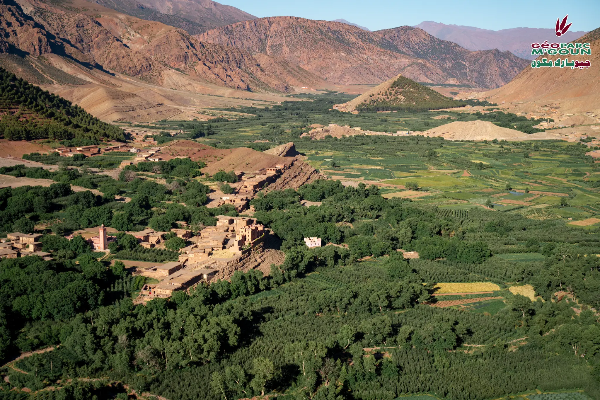
Hiking & Trekking
The lake shores and surrounding mountains offer many hiking opportunities. Marked trails allow visitors to discover local flora and fauna while enjoying panoramic views over the lake and High Atlas.
Bird Watching
Bin El Ouidane lake is a remarkable birdwatching site. Many species of aquatic and migratory birds frequent the lake, including herons, diving ducks and raptors.
Access & Distances
GPS Coordinates
32.0833° N, 6.4500° W — Bin El Ouidane, Province d'Azilal
National road from Béni Mellal (40 km) or Azilal (20 km). Paved road to the dam. Accommodation available on the lake shores.