Ait Bougumez Valley
The Happy Valley
Overview
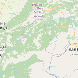
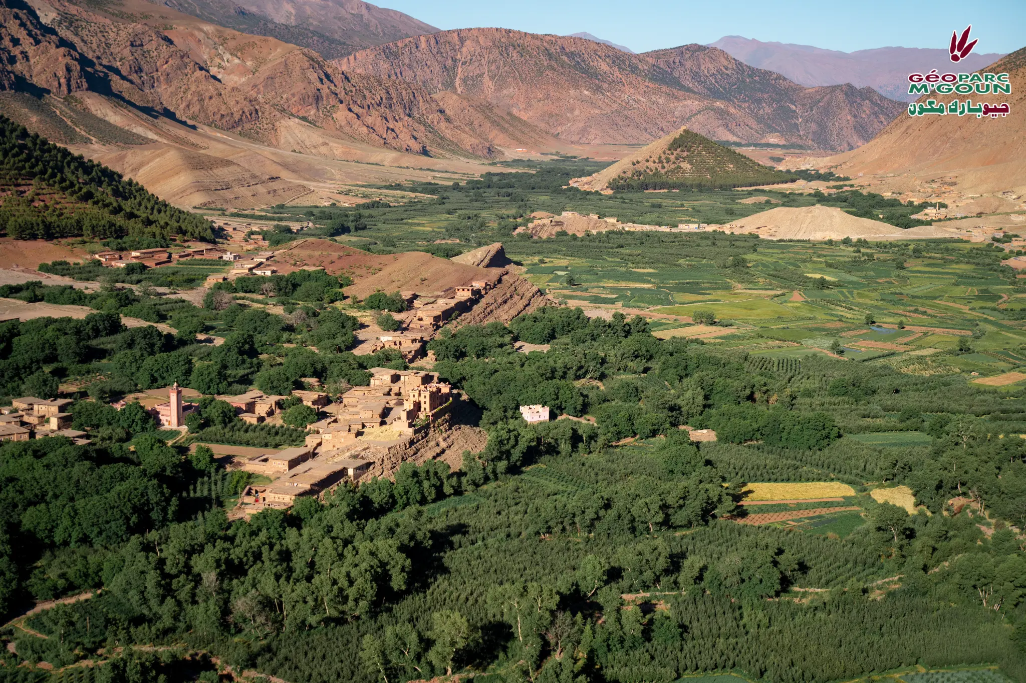
In the heart of the M'Goun Geopark and at the foot of the Central High Atlas, the "Happy Valley" stretches about thirty kilometers long and one kilometer wide. It is abundant with orchards and gardens filled with apple and walnut trees, which contrast with the austerity of the surrounding steep slopes.
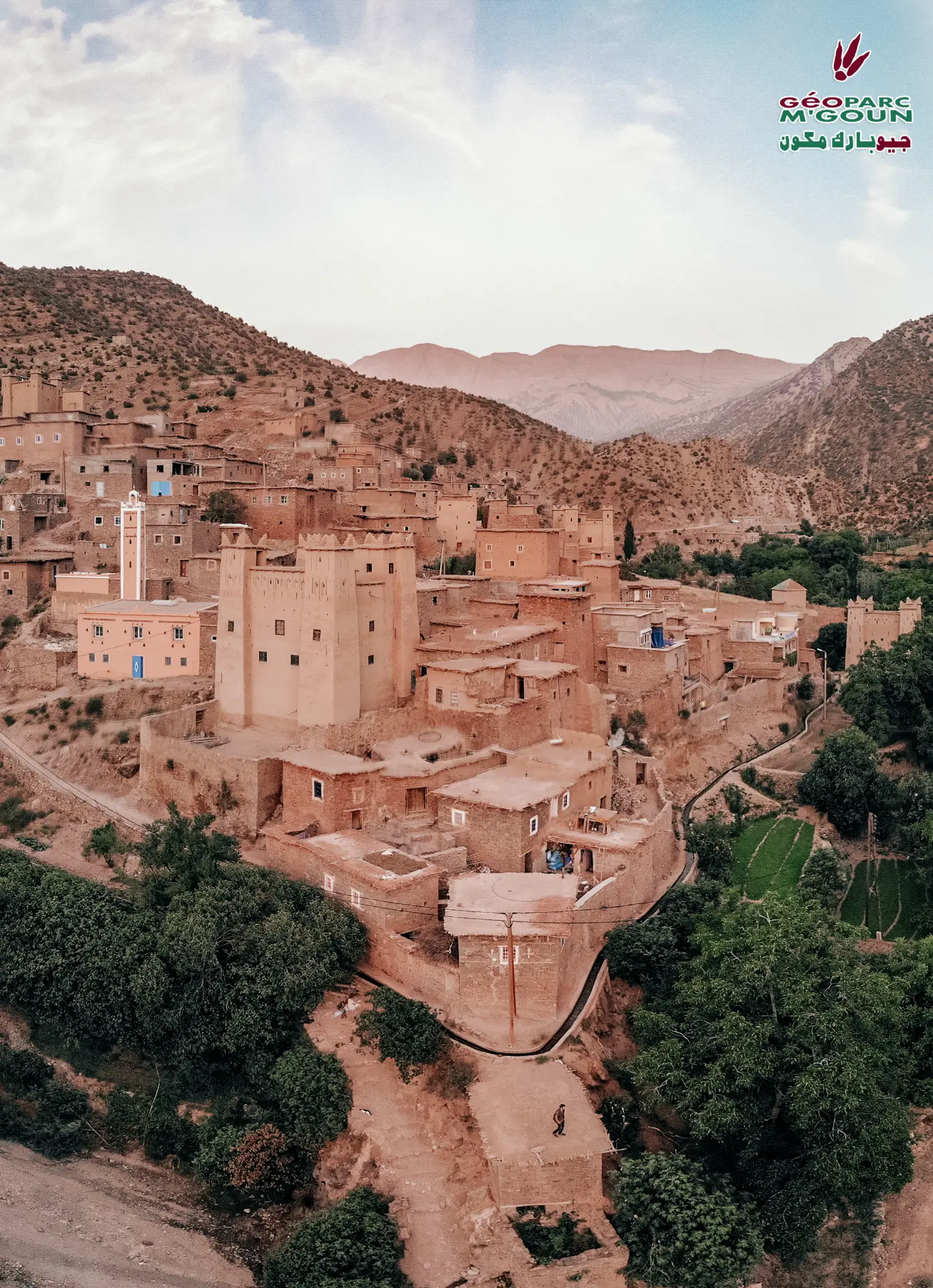
Comprised of multiple pisé villages clinging to the mountainside and remarkable fortress-like granaries, Ait Bouguemez Valley is a paradise for mountain tourism. You will encounter hospitable and helpful locals while accredited tourist guides and sports instructors will accompany you on your hikes and other sports or cultural activities.
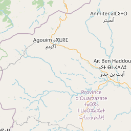
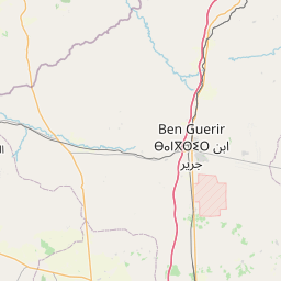
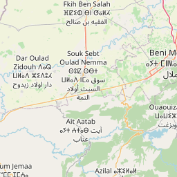
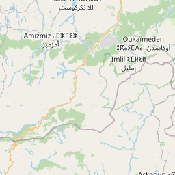
Access & Distances
GPS Coordinates
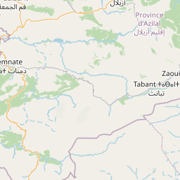
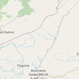
31.5833° N, 6.4667° W — Tabant
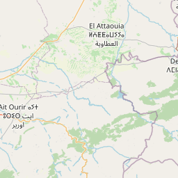
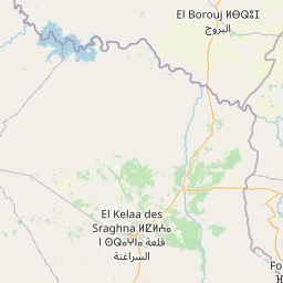
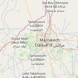
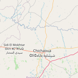
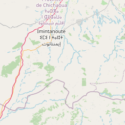
Via Demnate and Imi n'Ifri from Marrakech. Paved road to Tabant.
Attractions & Points of Interest
Pisé Villages
Traditional villages of the valley with their earthen architecture clinging to the mountainside, witnesses of an ancestral Amazigh know-how.
Jbel M'Goun (4071 m)
The 3rd highest peak in Morocco, Jbel M'Goun offers a mythical ascent with 360° panoramas over the Central High Atlas.
Izourar Lake
Perched at 2600 m altitude, this 5 km² temporary lake surrounded by snow-capped mountains is home to endemic species. From April to August, nomadic camps occupy its shores.
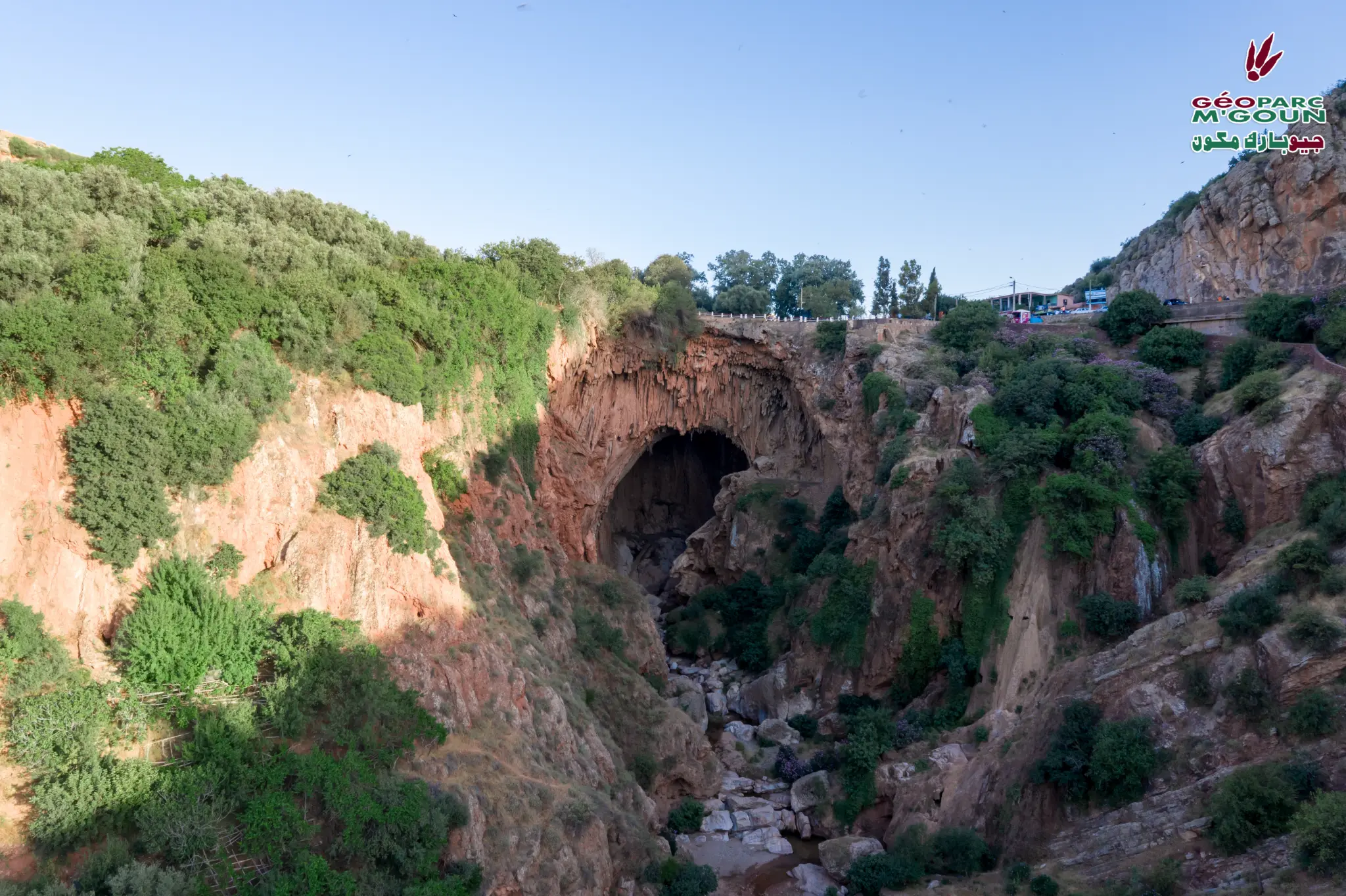
Jrou and Aarouss Gorges
These gorges with majestic limestone cliffs were carved by the Oued Lakhdar river and are among the most remarkable sites of the valley.
Collective Granary of Sidi Moussa
Fortified collective granary perched on a rocky spur, symbol of the social organization and solidarity of Amazigh communities.
Dinosaur Footprints of Ibakalliwn
Exceptional paleontological site preserving Jurassic dinosaur footprints, testimony to prehistoric life in the region.
Ramsar Site Oued Lakhdar
Wetland of international importance classified as Ramsar, hosting exceptional biodiversity and fragile aquatic ecosystems.
Surrounding Peaks
Jbel Tizal, Igoudamen, Ouaougoulzat and Azourki form a grandiose natural amphitheater around the valley, a paradise for mountaineers.
Activities
Photo Gallery

Official interpretive panel — Aït Bougumez Valley
Built Heritage
Amazigh Architecture of the Valley
The Aït Bougumez valley concentrates one of the most remarkable architectural heritages of the Central High Atlas. The pisé villages clinging to the slopes illustrate a perfect adaptation to mountain climatic conditions (snow, rain, cold), where stone, earth and wood are the exclusive building materials.
The Tighremt — traditional fortified dwelling — is the most representative typology. Its square layout is organised around an interior patio with corner towers. The ground floor is devoted to livestock, the intermediate level to residents, and the top floor to guests, ensuring natural thermal comfort through the thickness of the pisé walls.
The Collective Granary of Sidi Moussa
Perched on a rocky spur overlooking the valley, the collective granary of Sidi Moussa (Ighrem or Ayadir) is one of the most emblematic monuments of Aït Bougumez. These impregnable fortresses held the community's wealth: harvest, foodstuffs, weapons, jewellery. Their singular architecture testifies to the social organisation and solidarity of Amazigh communities.
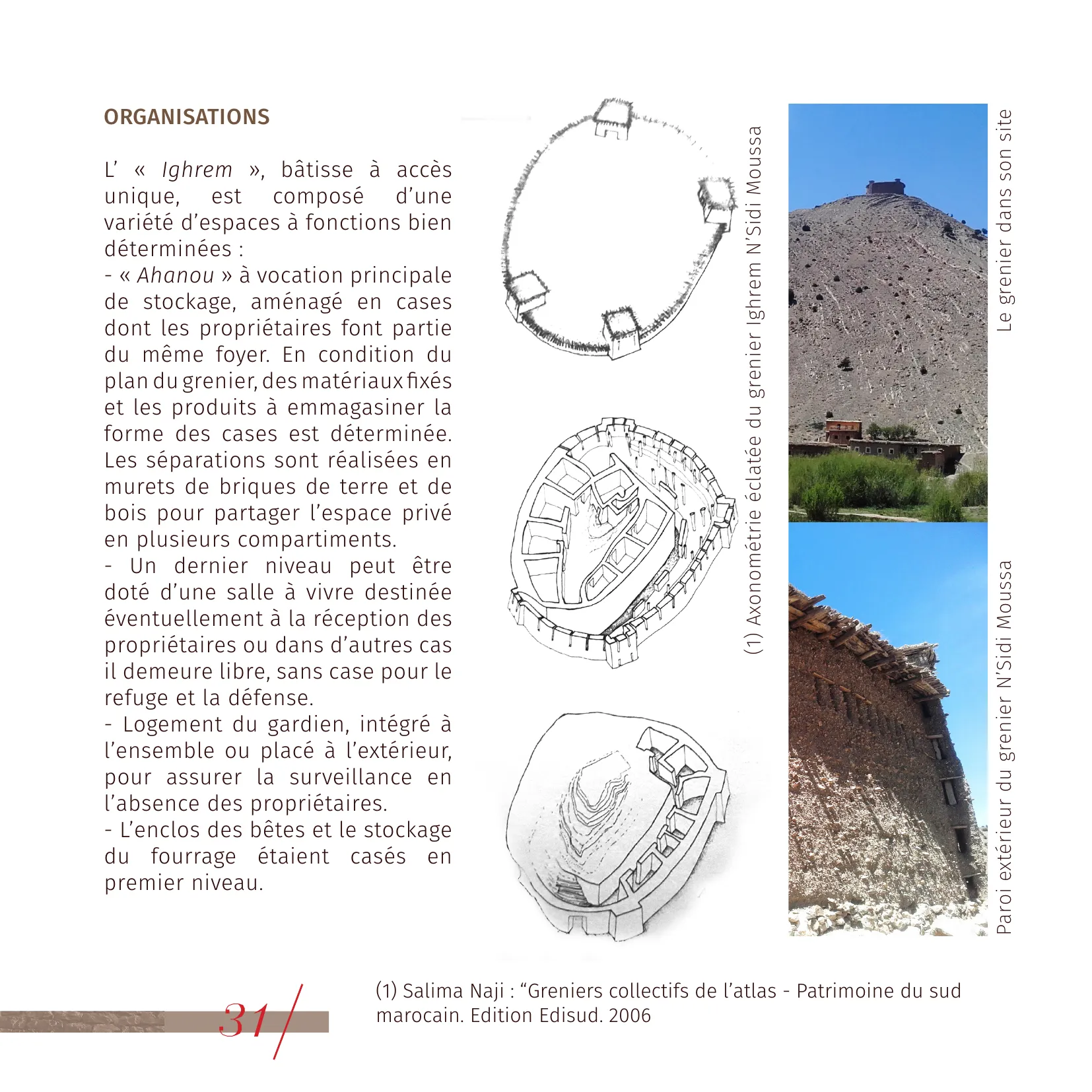
Granary N'Sidi Moussa © AUBM
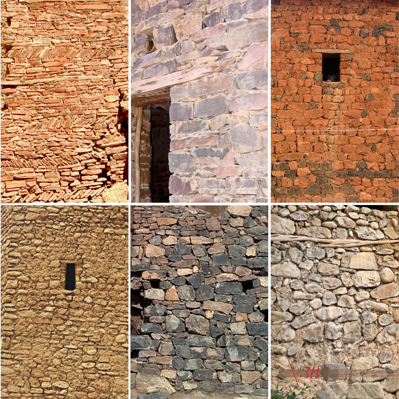
Stone masonry © AUBM
Source: Architectural Charter of the Central High Atlas, AUBM.
Official Tourist Guide
Download the official tourist guide of Ait Bougumez Valley to prepare your visit.
Download Guide (PDF)Location & Access
The Aït Bougumez Valley is accessible from Marrakech (180 km) via Azilal and Ait Mehamed.