Aït Bou Oulli
The Red Valley — Charming Authentic Valley
In the heart of the M'Goun Geopark, this valley seduces by its quietness, peace and authenticity. Ait Bou Oulli means "herd breeders" in the Amazigh language.
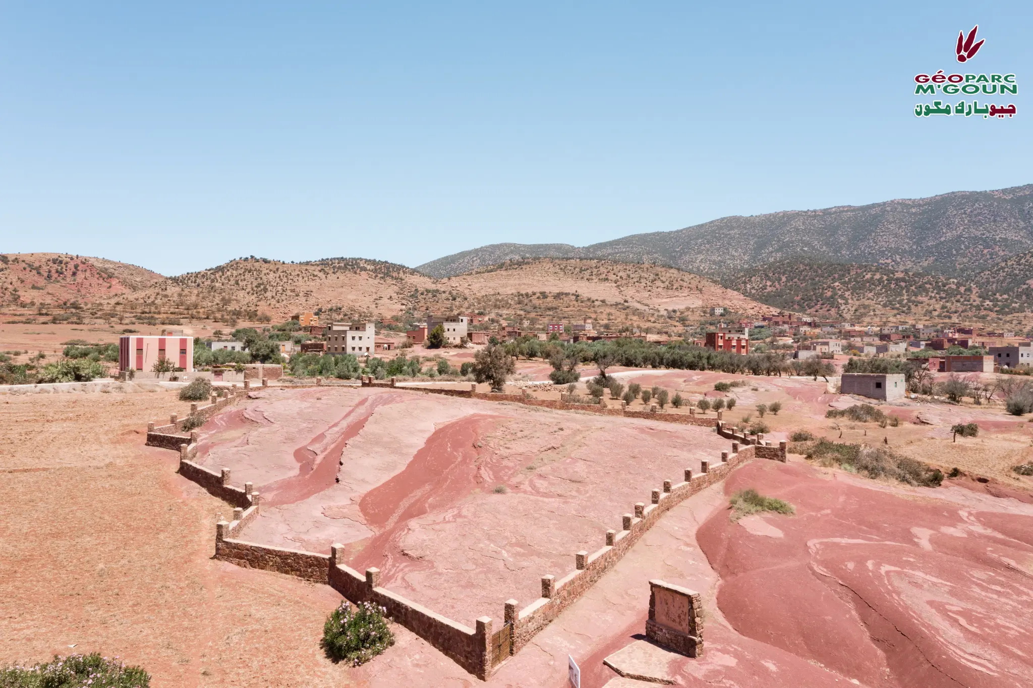
The Red Valley of the High Atlas
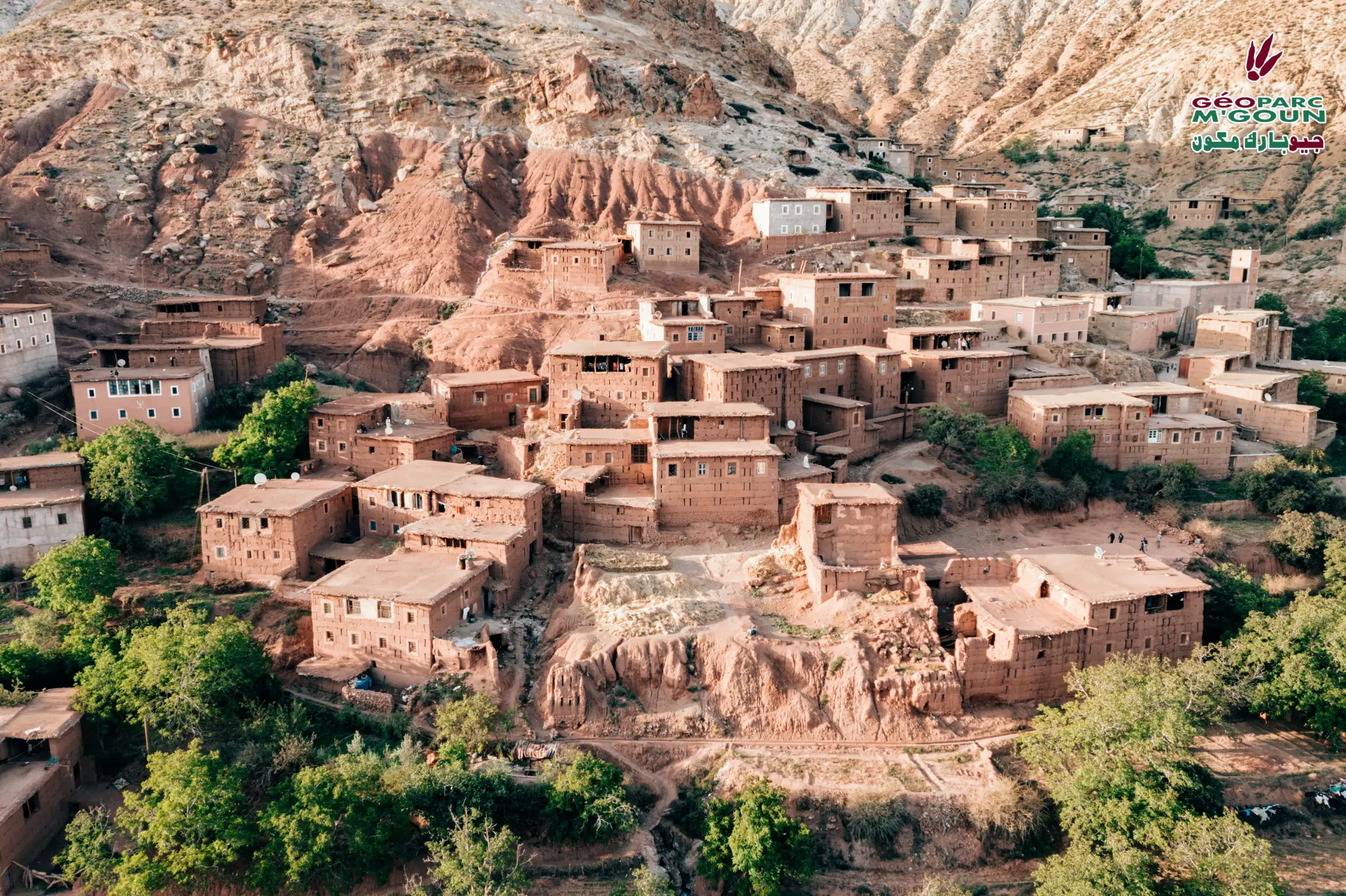
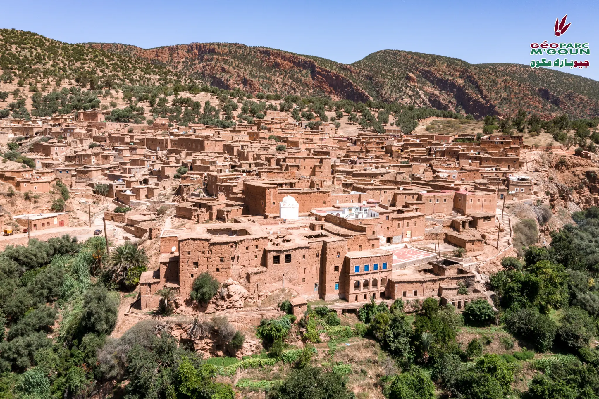
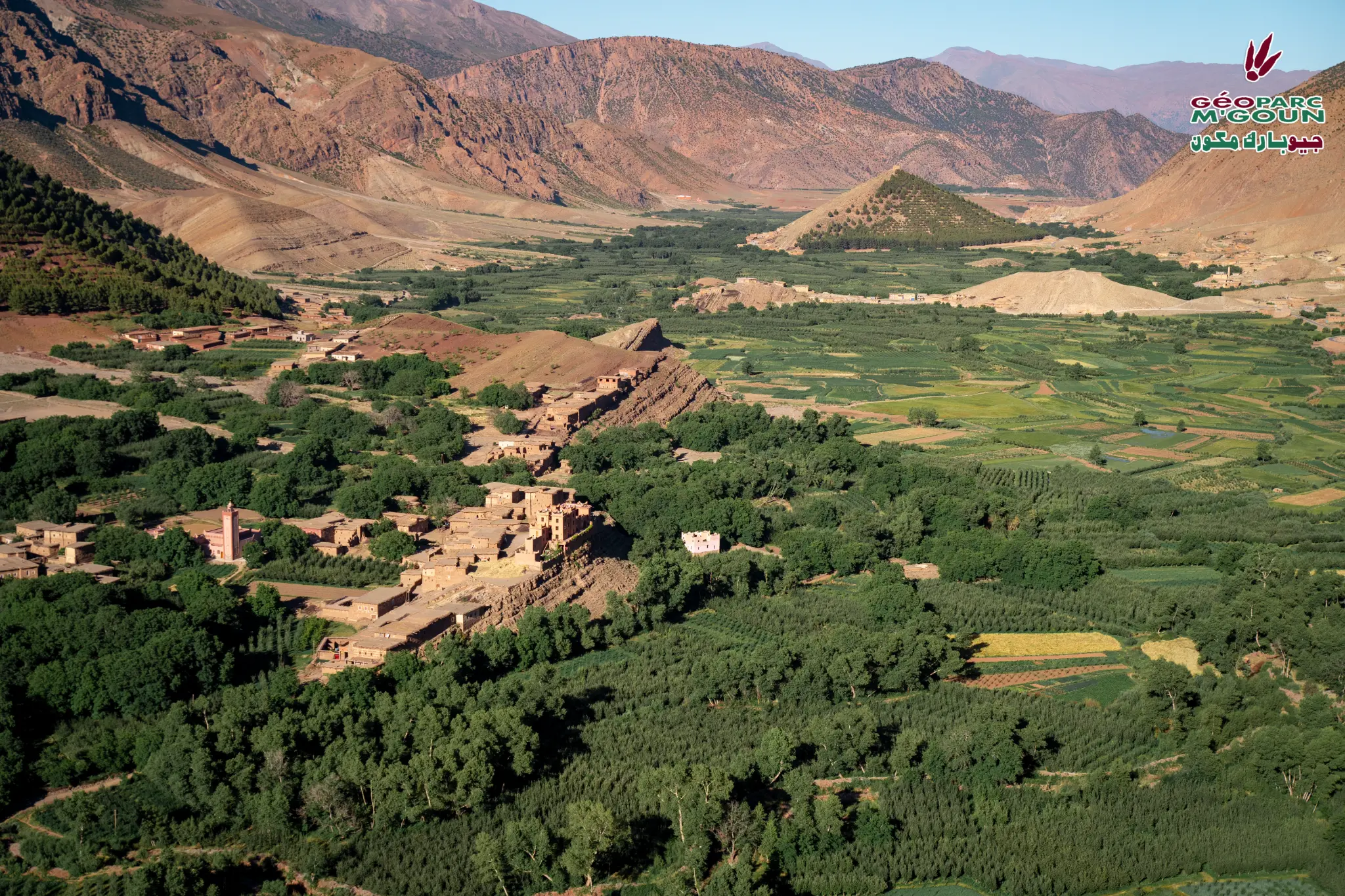
In the heart of the M'Goun Geopark, at the foot of the Central High Atlas and nearby "Happy Valley", the Ait Bou Oulli valley, also known as the "Red Valley" due to the color of its soil, seduces by its quietness, peace and authenticity. The population is essentially agro-pastoral.
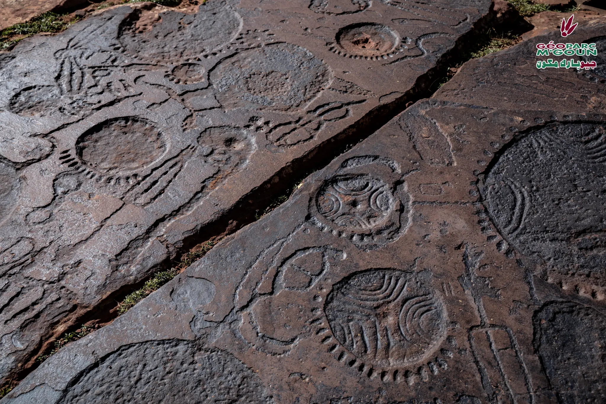
Ait Bou Oulli in the Amazigh language means "herd breeders". The valley is surrounded by mountains, some of which exceed 3,500 meters in height. You will discover numerous villages with beautiful traditional architecture, the most significant being the fortified village of Abachkou, as well as oases of walnut trees, beautiful pine forests and rock engraving sites, the most important of which is at Tizi n'Tirghyst.
This valley is a stopover and the starting point for several hikes. It is the ideal starting point for the ascent of Jbel M'Goun (4,071 m), the third-highest peak in Morocco.
"The Ait Bou Oulli valley has several villages to discover and explore during your visits and hikes."
Practical Information
Attractions & Points of Interest
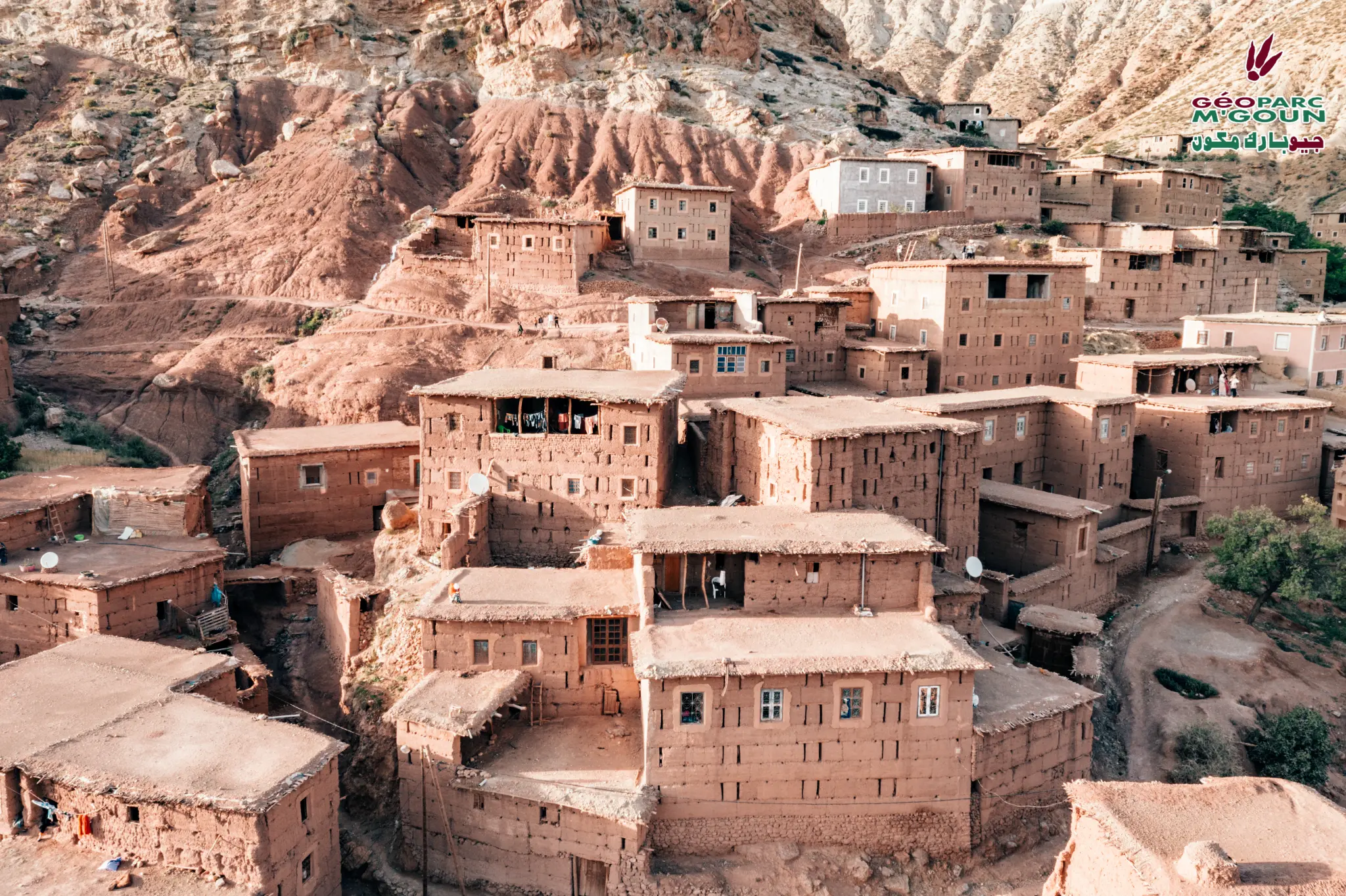
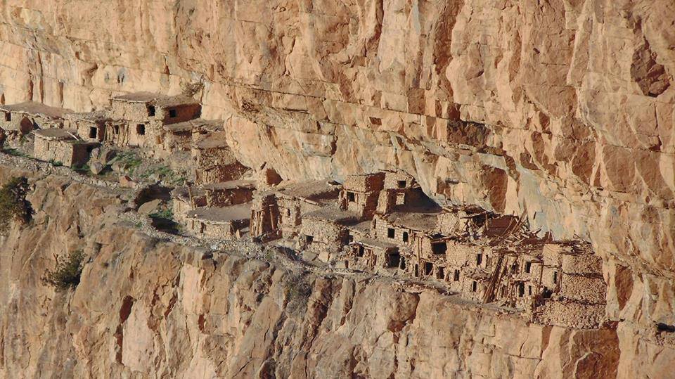
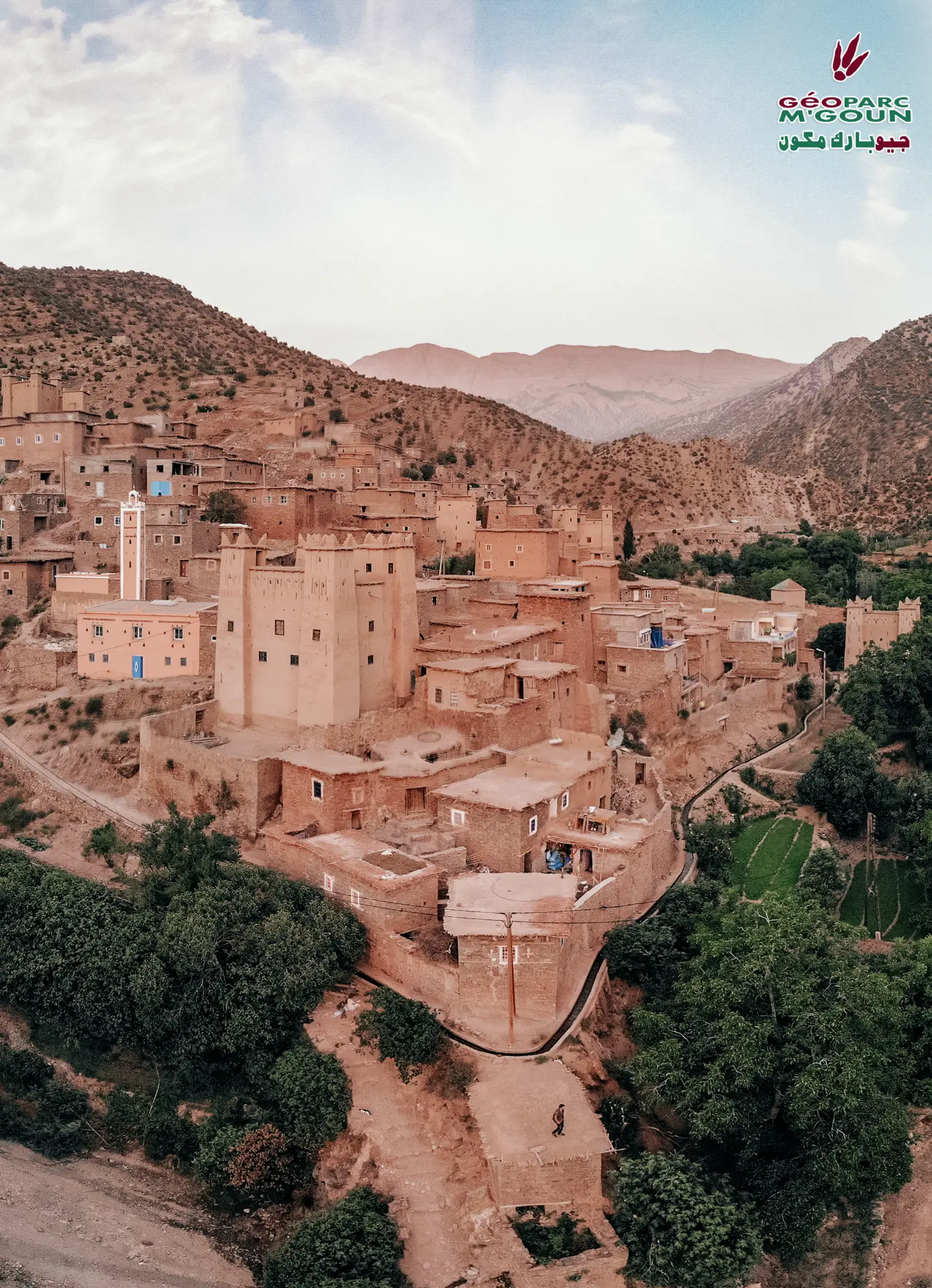
Fortified Village of Abachkou
The most significant village in the valley, with remarkably well-preserved traditional earthen architecture.
Rock Engravings of Tizi n'Tirghyst
The most important rock engraving site in the region, 13 km from the valley, a testament to prehistoric civilizations of the High Atlas.
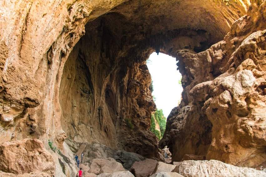
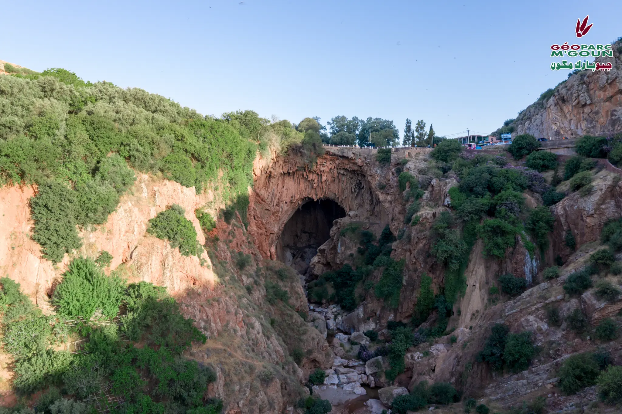
Tassawte Gorges
Spectacular gorges carved into red rock, offering breathtaking landscapes and exceptional hiking opportunities.
Traditional Threshing Areas
Still functional, located near the villages of Ifri and Rouguelt. Cereals are harvested from mid-June then threshed collectively.
Collective Granaries (Agadir)
The 2 large collective granaries of Ait Bou Oulli, witnesses to ancestral Amazigh social organization.
Crafts — Potters & Carpenters
The potters of Bougal perpetuate ancestral know-how. The carpenters of Abachkou are renowned throughout the High Atlas.
Ramsar Site — Upper Oued Lakhdar
Internationally important wetland classified as Ramsar, home to remarkable biodiversity.
Peaks — Jbel M'Goun (4,071 m)
Starting point for the ascent of Jbel M'Goun (4,071 m), Takeddid, Waugoulzat, Lgoudamen and Rat. Certified guide required, minimum 4 days.
Activities & Hiking
If you come with your family, several activities can be enjoyed by the children. All activities can be adapted to your needs and the length of your stay.
Cultural Workshops
Kitchen Workshop
Introduction to local and traditional gastronomy based on local products. Audience: adults and youth.
Weaving Workshop
The women of Ait Bou Oulli are renowned for their traditional art of carpet weaving, preserved for many generations.
Agricultural Workshop
Participate in agricultural activities, discover traditional water and agricultural land management techniques.
Pottery Workshop
Discover the pottery craftsmanship passed down from generation to generation. Learn to collect and prepare clay.
Ait Bou Oulli Gallery
Village fortifié d'Abachkou — Architecture en pisé
Architecture traditionnelle — Vallée Rouge
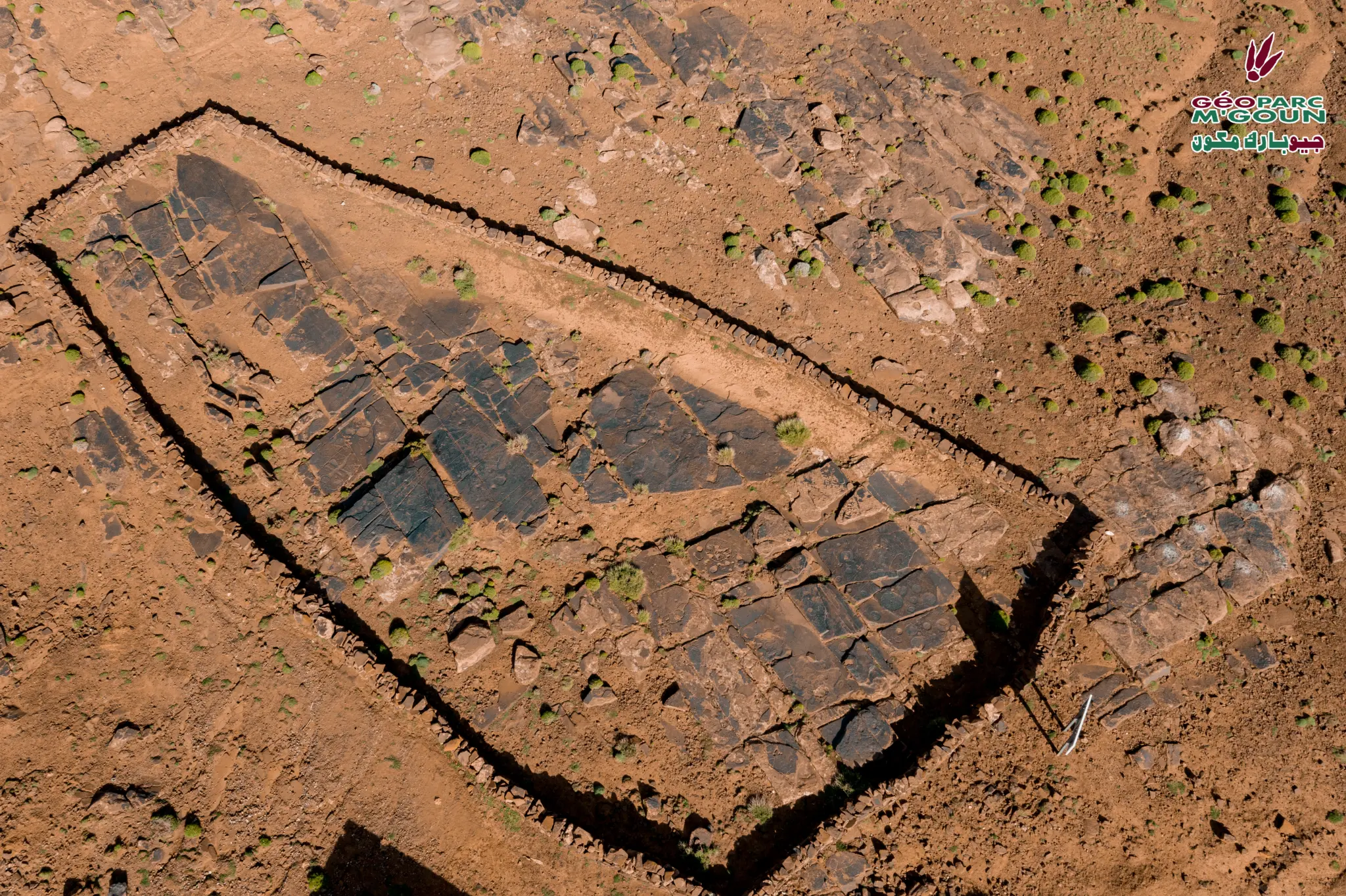
Gravures rupestres de Tizi n'Tirghist
Grenier collectif (Agadir) — Aït Bou Oulli
Village de la Vallée Rouge — Vue panoramique
Paysage de la Vallée Rouge
Aït Bou Oulli — Haut Atlas Central

Montagnes enneigées — Jbel M'Goun visible
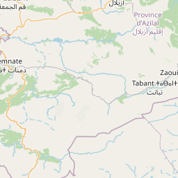
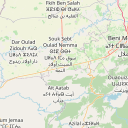
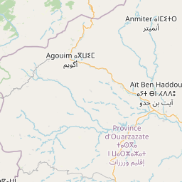
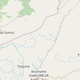
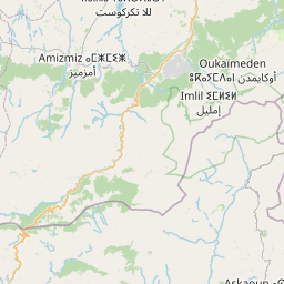
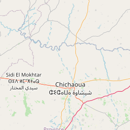
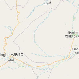
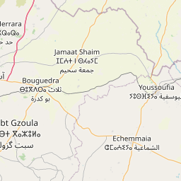
Access & Interactive Map
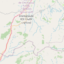
The Ait Bou Oulli Valley is accessible from Marrakech (200 km) via Azilal and Ait Blal.


Nearby Sites to Discover
Discover the Red Valley
Contact us to organize your stay in the authentic Ait Bou Oulli valley.