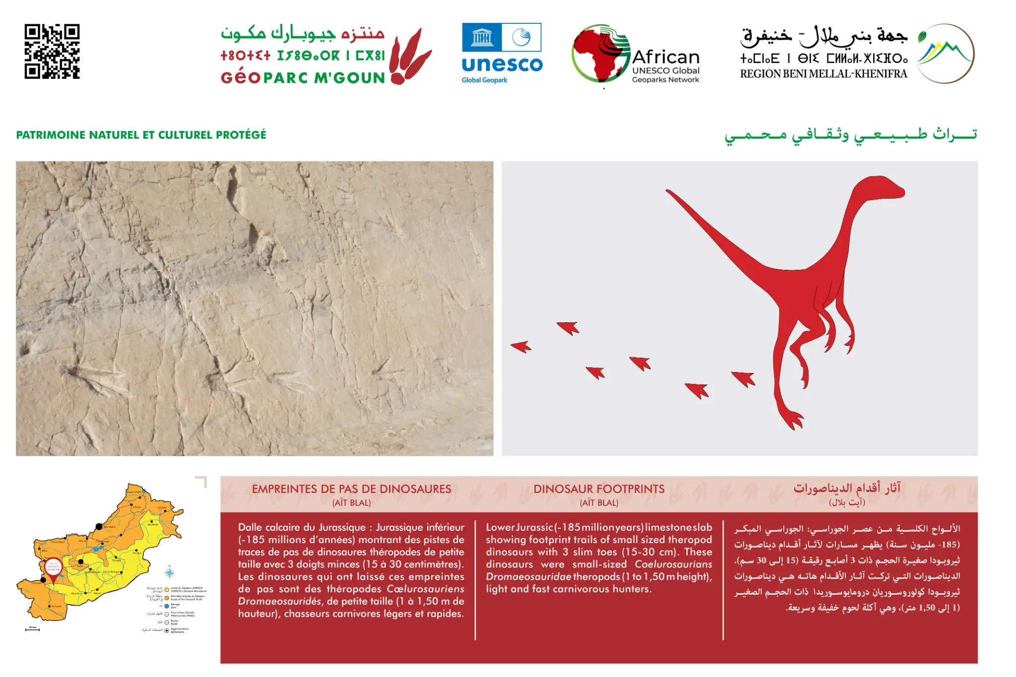
Ait Blal Dinosaur Footprints
Upper Jurassic (~150 Ma) — Paleontological Circuit
Overview
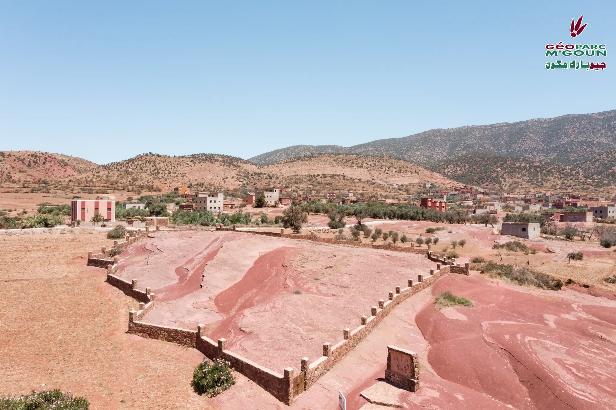
The Ait Blal site is one of the three major dinosaur footprint sites of the M'Goun Geopark, along with Iouaridène and Ibaqualliwn. Sauropod and theropod tracks are preserved in the red layers of the Upper Jurassic (~150 Ma), testifying to the dinosaurian fauna that populated the region 150 million years ago.
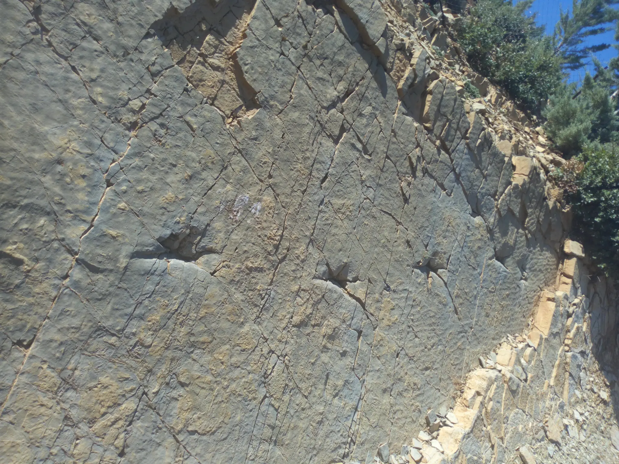
This site is part of the network of dinosaur footprint sites that characterizes the M'Goun Geopark territory and gives it exceptional international paleontological value. The red layers of the Upper Jurassic constitute an alluvial plain depositional environment, ideal for the preservation of locomotion tracks of large dinosaurs.
Official Interpretive Panel
Official interpretive panel(s) of M'Goun Geopark — UNESCO
Points of Interest
Giant sauropod footprints preserved in situ
Theropod tracks — Jurassic predators
Upper Jurassic red layers (~150 Ma)
Paleontological circuit — 3rd site of the geopark
Active international scientific research
Fossil alluvial plain of the Upper Jurassic
Access & Location
How to get there
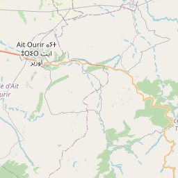
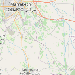
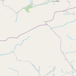
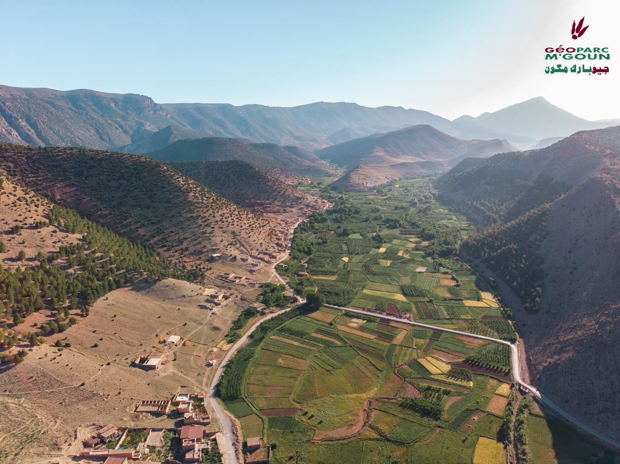
Ait Blal commune — 50 km from Azilal — 120 km from Marrakech. Paved road to Ait Blal.
GPS Coordinates
31.8167° N, 6.6500° W
Altitude: 1 100 – 1 500 m