Anergui Sites
Geology-Culture Confluence — Upper M'Goun River Valley
Overview
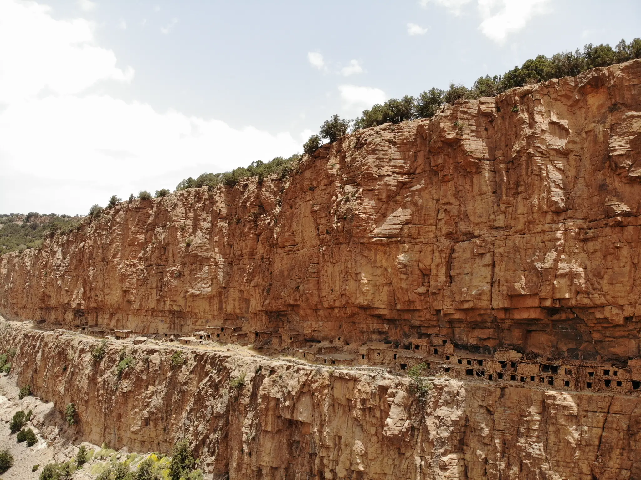
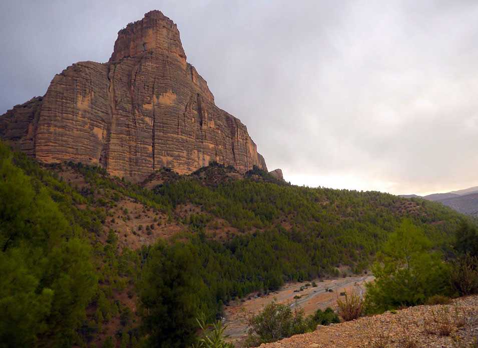
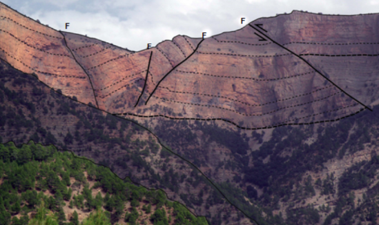
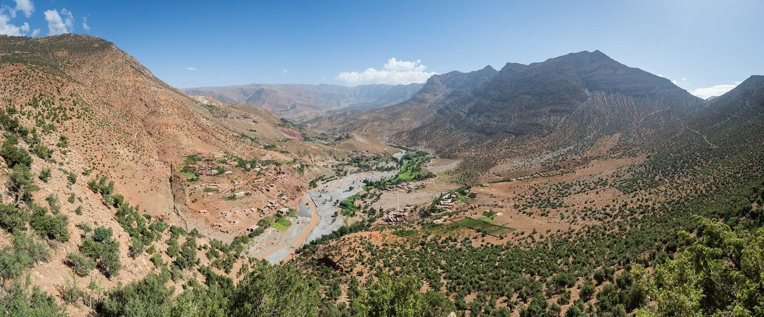
The Anergui sites constitute an exceptional heritage ensemble in the upper M'Goun River valley, combining remarkable Jurassic geological formations with a rich Amazigh cultural heritage. This site is one of the most remote and best-preserved in the M'Goun Geopark.
The upper M'Goun River valley at Anergui is a preserved territory where nature and Amazigh culture coexist in a remarkable balance. The Jurassic geological formations are spectacular, with deep gorges and limestone cliffs. Traditional pisé villages and collective granaries testify to an ancestral way of life still alive.
Official Interpretive Panel
Official interpretive panel(s) of M'Goun Geopark — UNESCO
Points of Interest
Upper M'Goun River valley — most remote site
Spectacular Jurassic geological formations
Preserved traditional pisé villages
Living Amazigh cultural heritage
Deep gorges and limestone cliffs
Exceptional geology-culture confluence
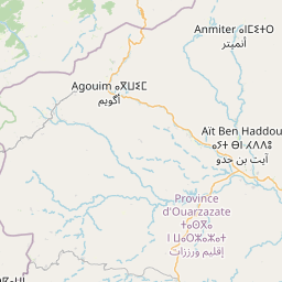
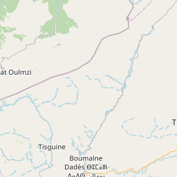
Access & Location
How to get there
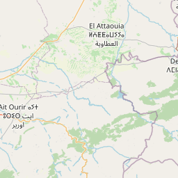
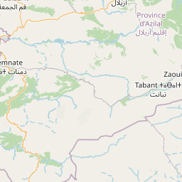
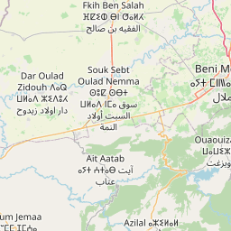
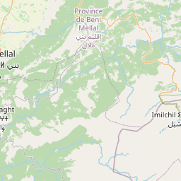
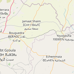
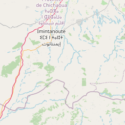
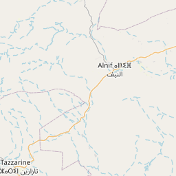
Upper M'Goun River valley — 110 km from Azilal. 4x4 track from Kelaat M'Gouna region or Ait Bouguemez. Guide required.
GPS Coordinates
31.8333° N, 6.0833° W
Altitude: 1 700 – 2 500 m