Aoujgal Collective Granaries (Ighrem)
Ancestral Amazigh Architecture — Intangible Cultural Heritage
Overview
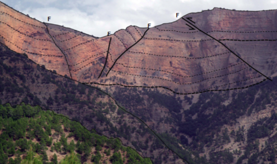
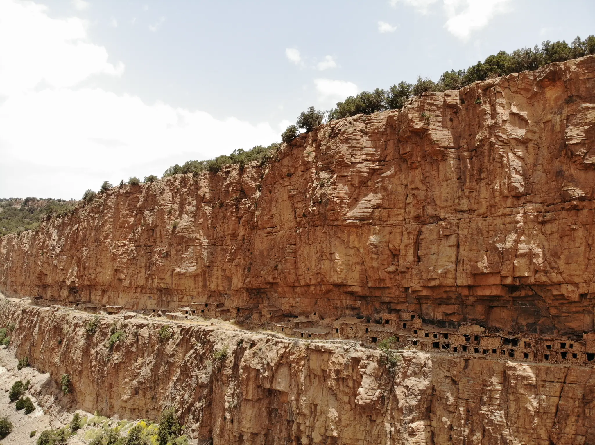
The Aoujgal collective granaries (Ighrem in Amazigh) are unique ancestral architectural structures, built in dry stone on rocky cliffs to protect the food reserves of Amazigh communities. These fortified granaries testify to the ingenuity and architectural know-how of the Central High Atlas populations.
The Aoujgal Ighrem is one of the best-preserved examples of this Amazigh defensive architecture. Each family owned one or more cells in the collective granary, closed by a carved wooden lock. These structures testify to the social and economic organization of Berber communities in the High Atlas, and constitute intangible cultural heritage of inestimable value.
Official Interpretive Panel

Official interpretive panel(s) of M'Goun Geopark — UNESCO
Points of Interest
Ancestral Amazigh collective granaries (Ighrem)
Dry stone architecture on rocky cliffs
Carved wooden locks — traditional craftsmanship
Berber social and economic organization
UNESCO intangible cultural heritage
Cultural landscape of the Central High Atlas
Access & Location
How to get there
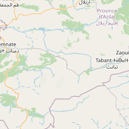
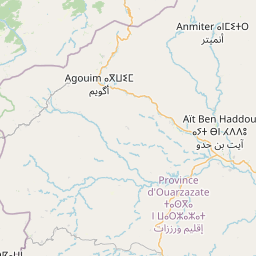
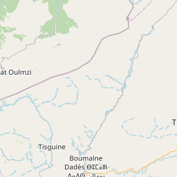
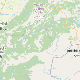
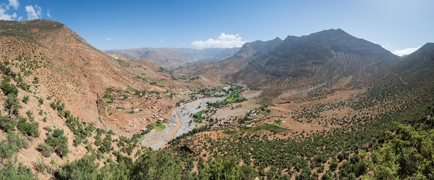
Anergui region — 105 km from Azilal. 4x4 track from the Anergui region. Local guide advised.
GPS Coordinates
31.8667° N, 6.1000° W
Altitude: 1 800 – 2 200 m