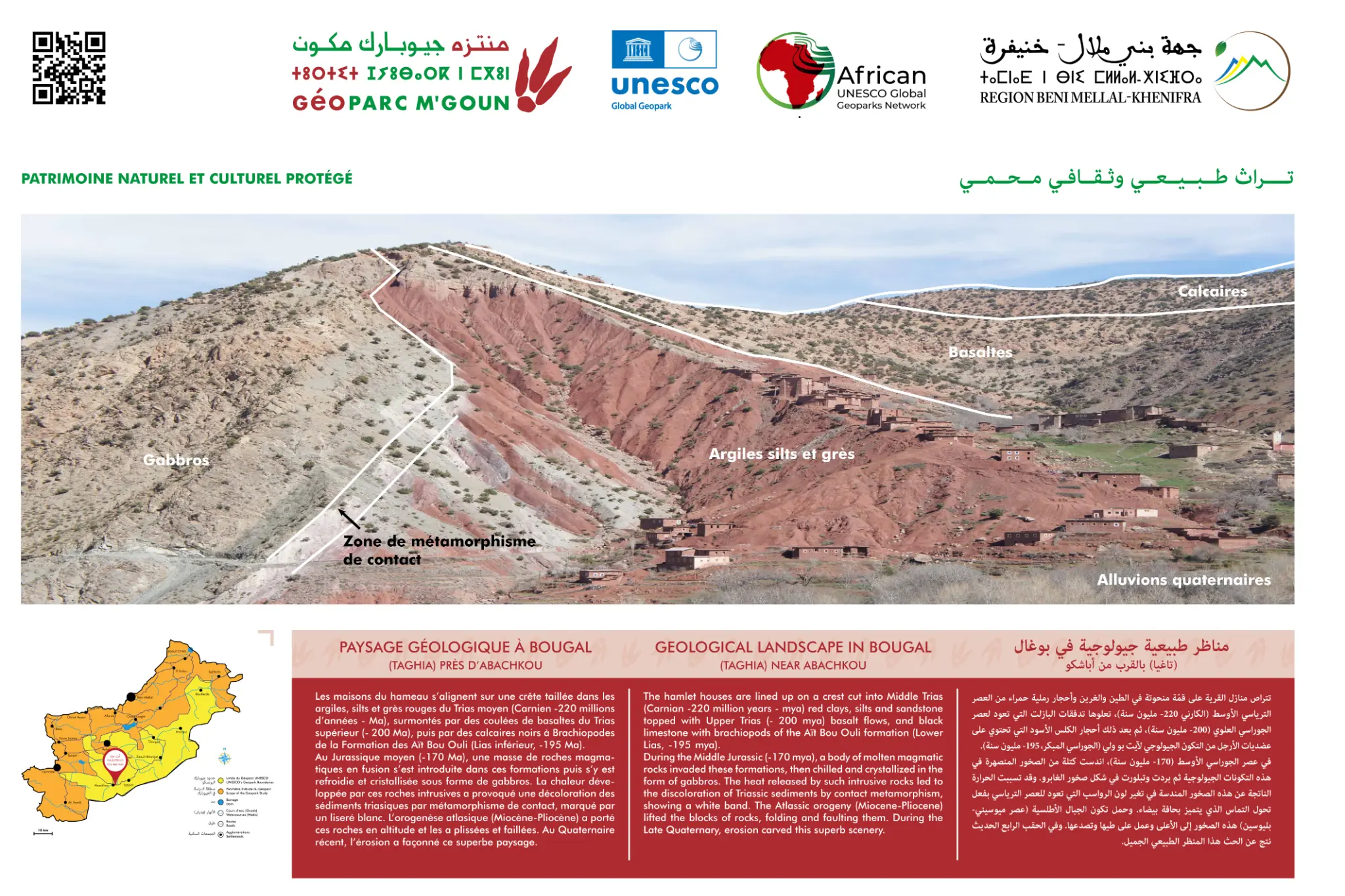
Bougal (Taghia) Geological Landscape
700 m limestone cliffs — World-class climbing — Ahançal Gorges
Overview
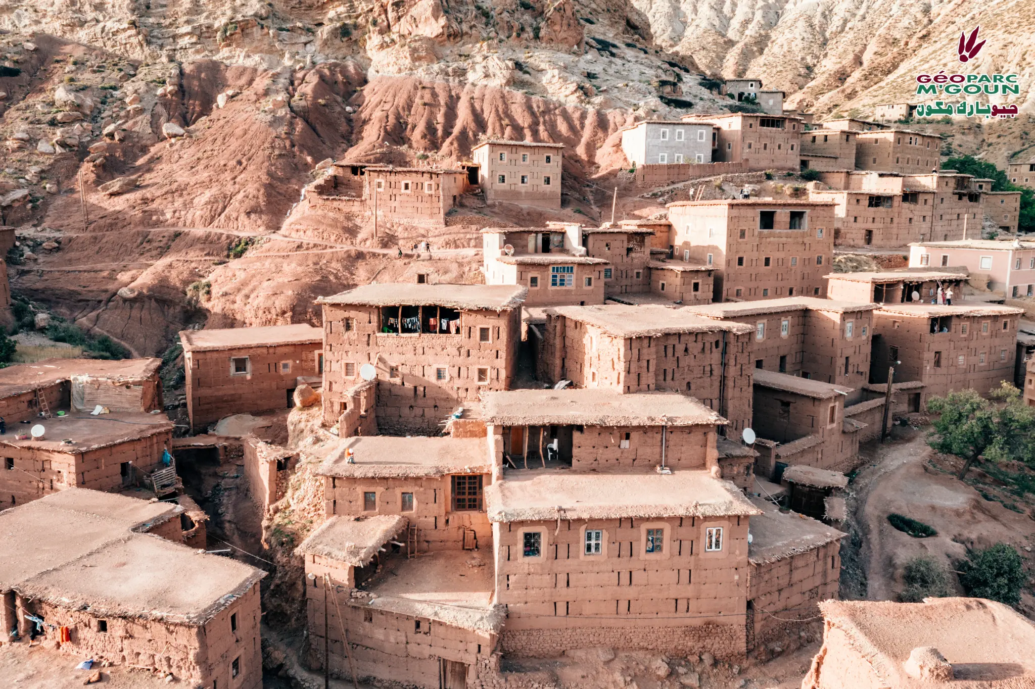
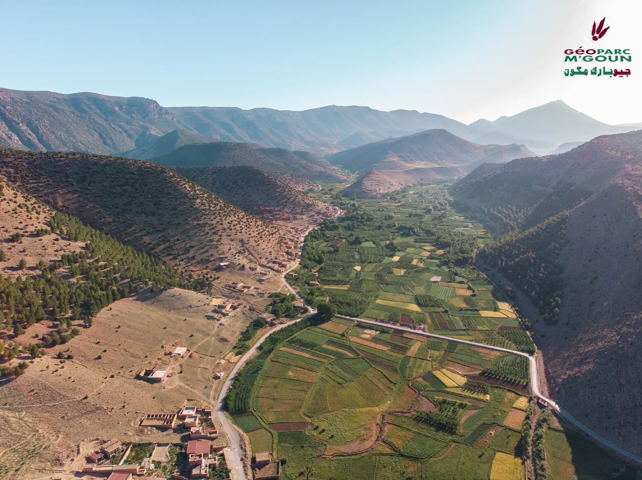
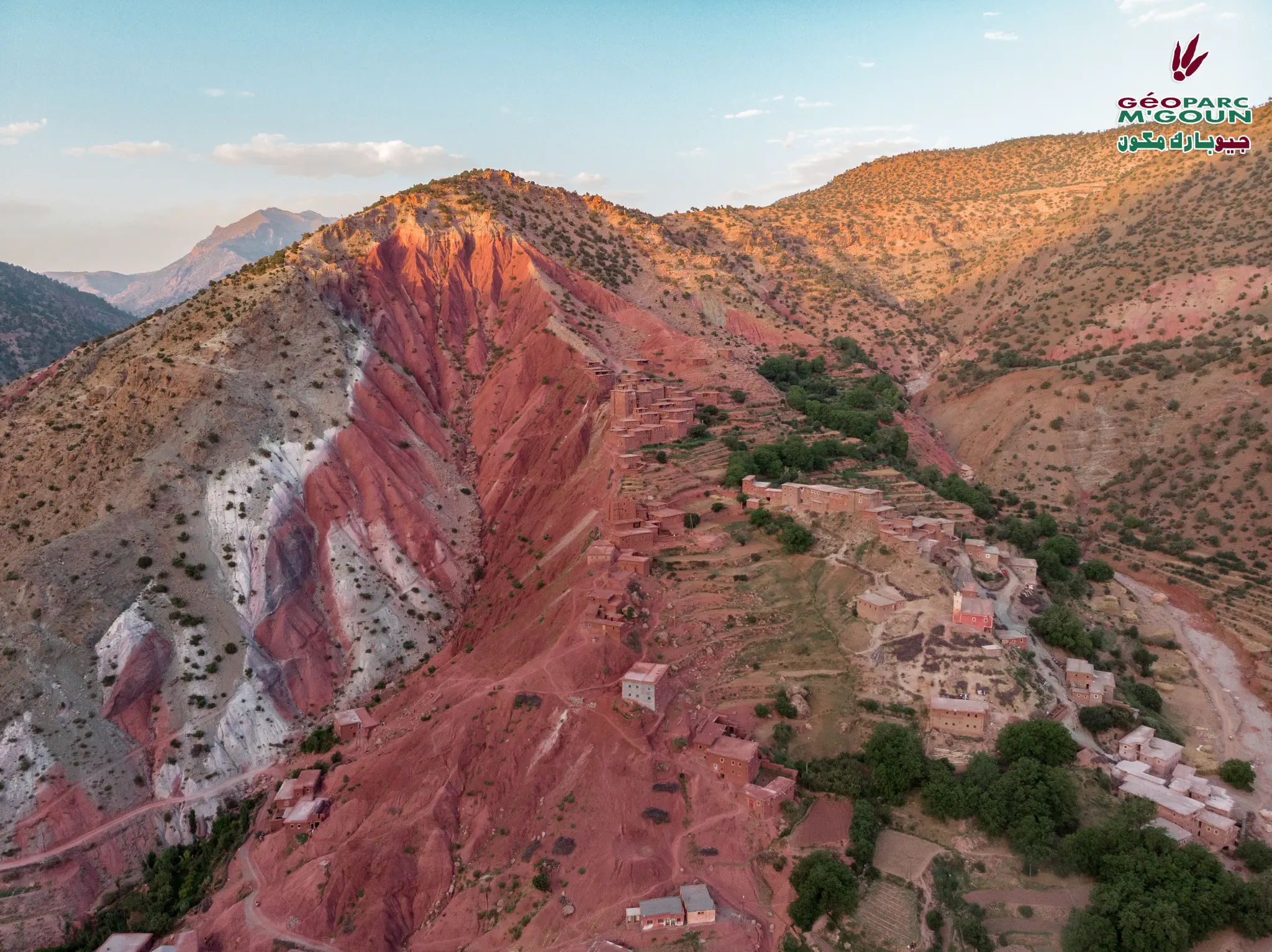
The geological landscape of Bougal, in the Taghia area near Abachkou, is one of the most spectacular in the M'Goun Geopark. The Jurassic limestone cliffs reach 700 m in height and constitute a world-renowned climbing site. The deep gorges of the Assif Ahançal offer exceptional stratigraphic sections from Lias to Dogger.
Taghia is considered one of the most beautiful climbing areas in the world, with routes reaching 700 m on perfectly structured limestone. The spectacular karst landscape results from millions of years of erosion of Jurassic limestone by the waters of the Assif Ahançal. This site is also a starting point for expeditions to summits of more than 3,000 m in the Central High Atlas.
Official Interpretive Panel
Official interpretive panel(s) of M'Goun Geopark — UNESCO
Points of Interest
700 m Jurassic limestone cliffs
World-renowned climbing site
Exceptional Lias-Dogger stratigraphic sections
Deep gorges of the Assif Ahançal
Spectacular karst landscape
Starting point for 3,000+ m summits
Access & Location
How to get there
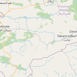
Via Zaouiat Ahançal — 82 km from Azilal — 246 km from Marrakech. 4x4 track recommended from Zaouiat Ahançal. Guide advised.
GPS Coordinates
31.6833° N, 6.3167° W
Altitude: 1 800 – 2 500 m