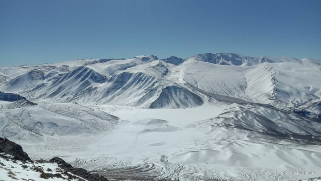
Jbel Azourki
Summit at 3,677 m — Fossiliferous Limestone — Geopark Panorama
Overview
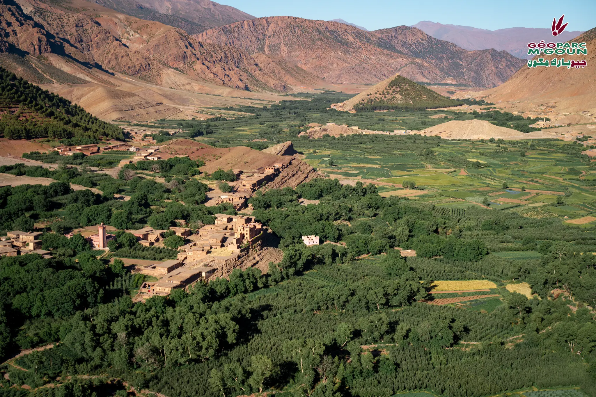
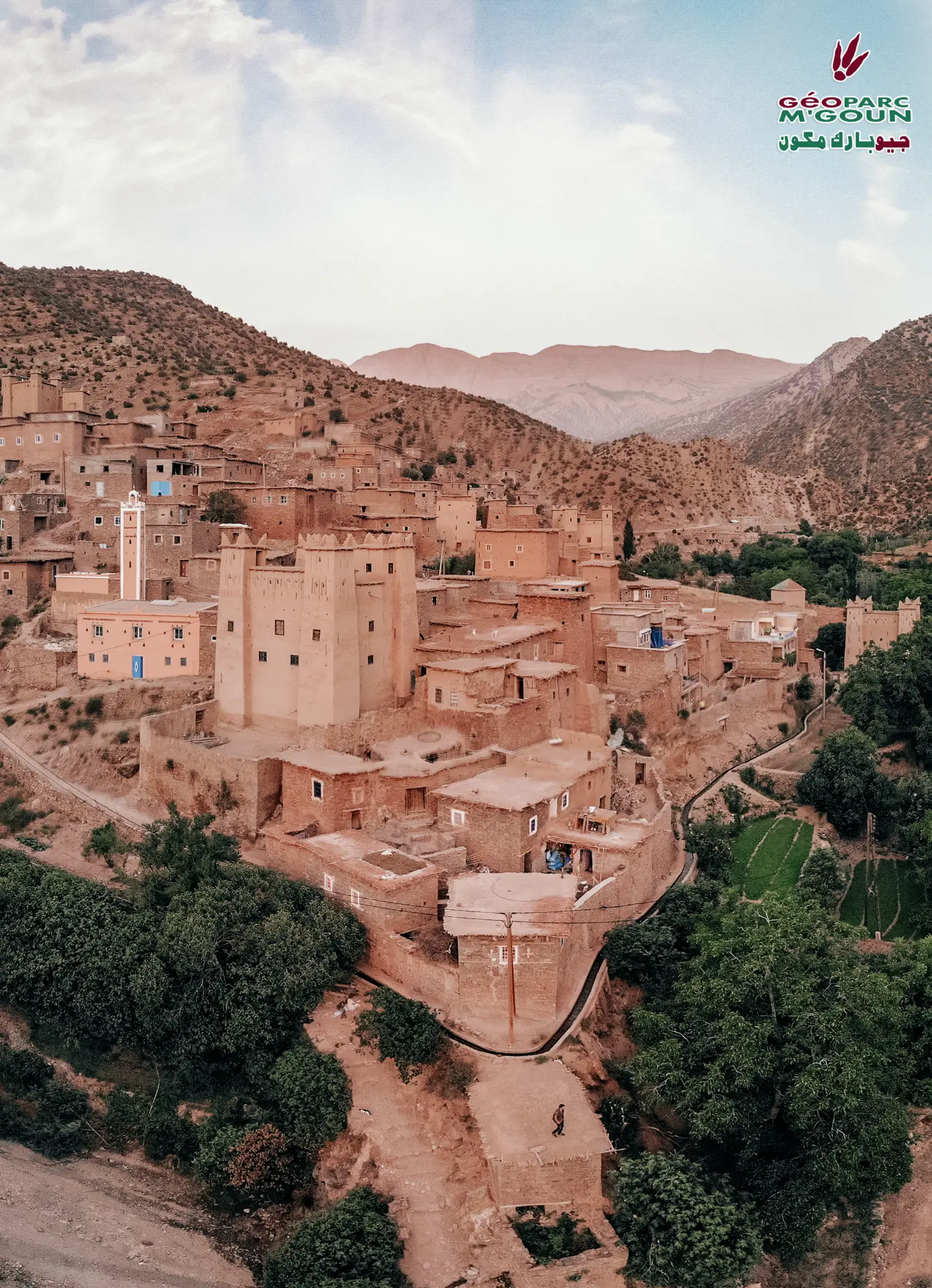
Jbel Azourki (3,677 m) is an emblematic summit of the Central High Atlas, composed of fossil-rich Upper Jurassic limestone. This limestone giant offers an exceptional panorama over the entire M'Goun Geopark territory, visible from many points of the geopark. It is a leading hiking and mountaineering objective.
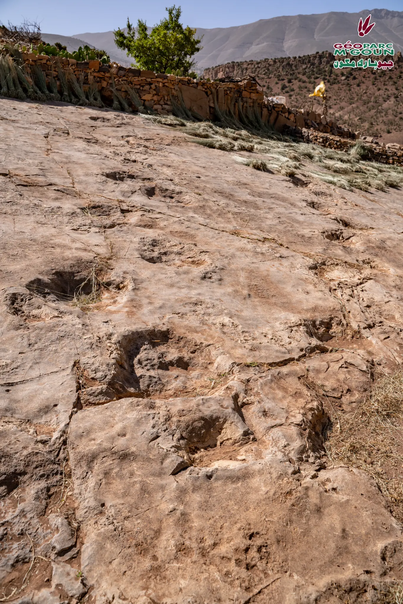
The mountain is composed of Upper Jurassic limestone in which lamellibranchs and other marine fossils testifying to the Tethys Sea can be observed. The ascent of Jbel Azourki is a unique geological and landscape experience, allowing the observation of the succession of geological formations of the geopark from the low valleys to the summits.
Official Interpretive Panel
Official interpretive panel(s) of M'Goun Geopark — UNESCO
Points of Interest
Summit at 3,677 m — fossiliferous Jurassic limestone
Exceptional panorama over the entire geopark territory
Jurassic marine fossils (lamellibranchs)
Visible from many points of the geopark
High-level hiking and mountaineering
Complete geological succession of the geopark
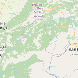
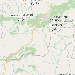
Access & Location
How to get there
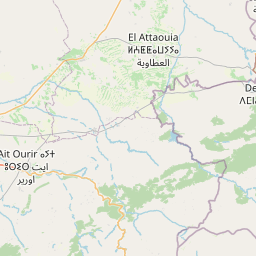
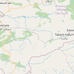
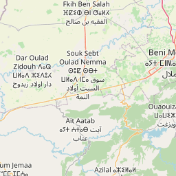
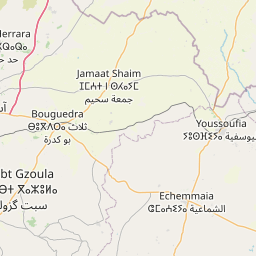
Via Ait Bouguemez — 90 km from Azilal. Mountain guide required for the ascent.
GPS Coordinates
31.8167° N, 6.2500° W
Altitude: 2 000 – 3 677 m