Ait Attab Synclinal Basin
Access via Afourer — Jurassic Atlas Structure
Overview
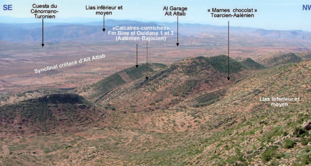
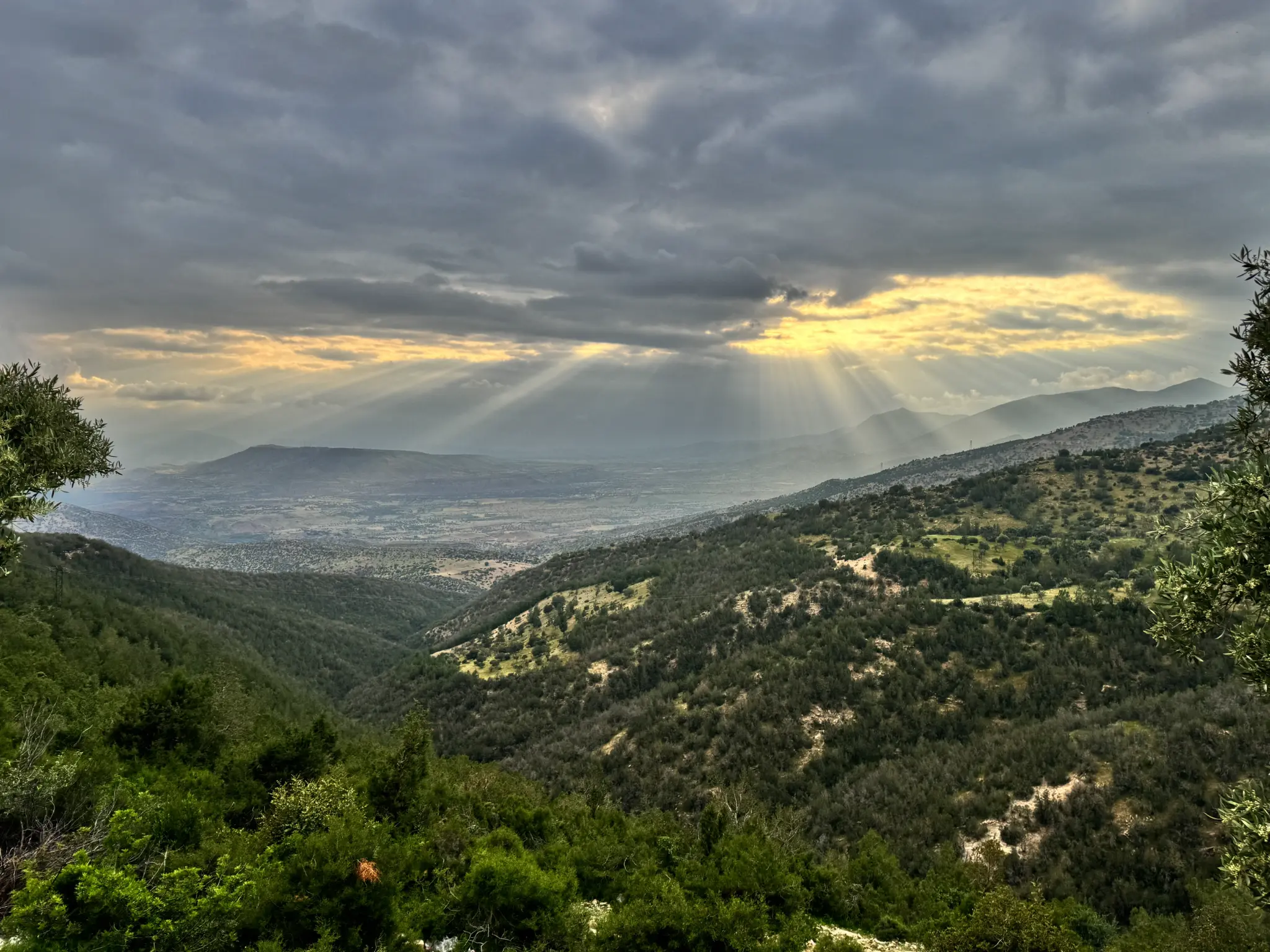
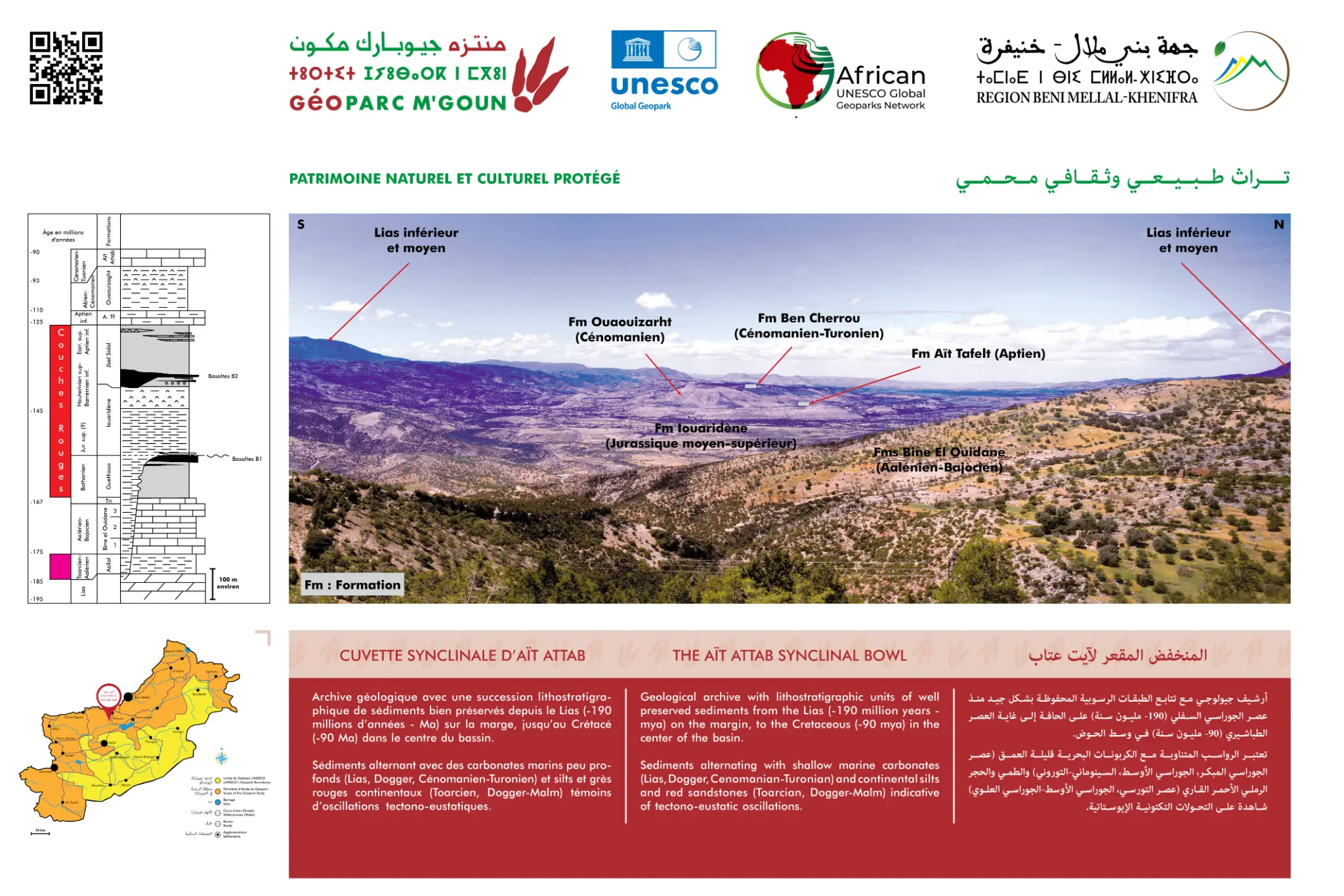
The Ait Attab synclinal basin is a spectacular geological structure formed in Jurassic limestone during the Atlas orogeny. Accessible from Afourer on the RN8 national road, this site offers exceptional stratigraphic sections testifying to the tectonic compression that shaped the Central High Atlas.
The Middle to Upper Jurassic Atlas series is perfectly exposed here, allowing geologists and visitors to observe the succession of sedimentary formations deposited in the Tethys Sea approximately 150 to 175 million years ago. The Ait Attab syncline is one of the most accessible examples of the compressive tectonics of the High Atlas.
Official Interpretive Panel
Official interpretive panel(s) of M'Goun Geopark — UNESCO
Points of Interest
Complementary view of Atlas tectonics (geosite 2/2)
Panorama over the Oued El Abid watershed
Jurassic sedimentology — layers visible from the road
Fluvial incision in Jurassic formations
Easily accessible from the RN8 (Afourer)
Complementary to geosite 1 (Oulad Ayyad access)
Access & Location
How to get there
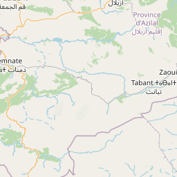
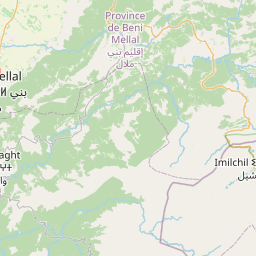
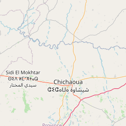
Accessible from Afourer (RN8) — 35 km from Béni Mellal — 280 km from Casablanca. Paved road, accessible by car.
GPS Coordinates
32.1667° N, 6.5000° W
Altitude: 600 – 950 m