Bine El Ouidane (Reservoir Lake)
Artificial reservoir lake — Jurassic geological formations
Overview
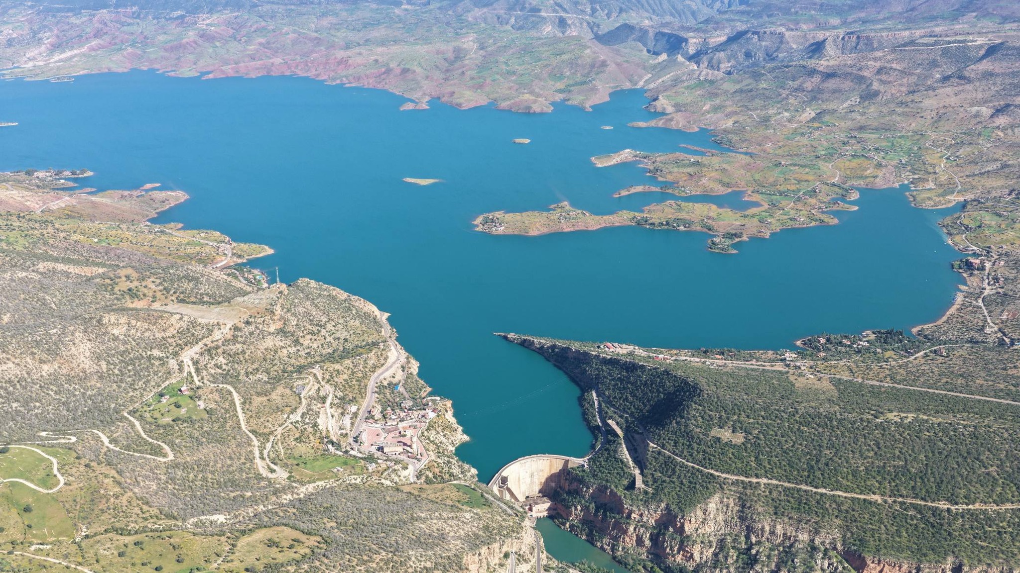
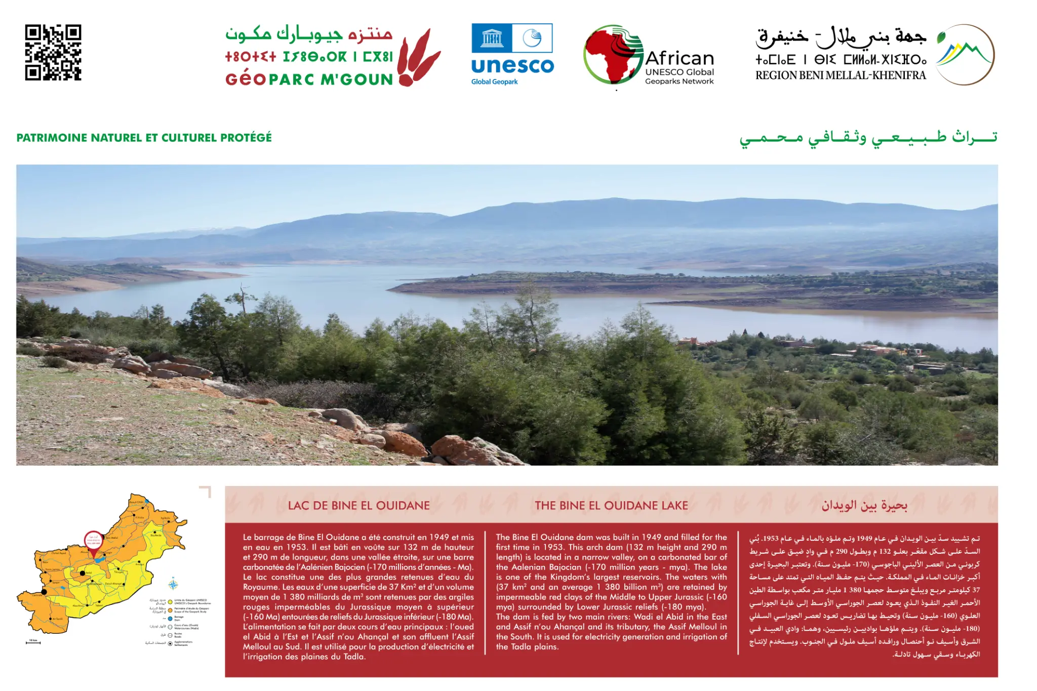
The Bine El Ouidane geosite is an exceptional site at the confluence of geology and human engineering. The reservoir lake, created in 1953, is one of the largest in Morocco with a capacity of 1.4 billion m³.
Bine El Ouidane lake, created in 1953 by the dam on the Oued El Abid, is one of the largest artificial lakes in Morocco with a capacity of 1.4 billion m³. The site reveals remarkable Jurassic geology — the limestone cliffs and sedimentary formations surrounding the lake bear witness to the geological history of the region. The lake is surrounded by lush Mediterranean vegetation and constitutes an important habitat for many migratory bird species. It is also a fishing and water sports site.
Official Interpretive Panel
Official interpretive panel(s) of M'Goun Geopark — UNESCO
Points of Interest
Artificial lake of 1.4 billion m³
Dam built in 1953
Jurassic limestone cliffs
Migratory bird habitat
Water sports and fishing
Access & Location
How to get there
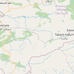
Accessible from Azilal or Marrakech. Contact M'Goun Geopark for access conditions.
GPS Coordinates
32.1083° N, 6.4625° W
Altitude: 800 – 900 m